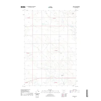
2020 Map of Ingals Dam
USGS Topo · Published 2020About this map
Cat Creek Cem serves as a quiet historical anchor in this sparsely populated stretch of Petroleum County, where the landscape is defined by the drainage networks of the Missouri River watershed. The geography here is a complex system of coulees and creeks, notably Jackson Coulee and Bull Springs Coulee, which channel seasonal runoff toward larger arteries like McDonald Cr and Box Elder Cr. Human intervention in this arid environment is most evident at Ingals Dam, a critical point for local water management. Near the southern edge, Petrolia Bench Rd provides one of the few established transit corridors through the sectional grid, connecting the scattered ranching interests that have historically navigated these breaks and creek bottoms including Cat Creek and Brush Cr.
Find a feature on this map
16 named features on this map. Tap any name to fly to it.
Don’t see what you’re looking for? This feature index may not catch every label — zoom into the map to look around manually.
Map Details
Editions of this 2020 Ingals Dam Map
This is the sole edition of this map. No revisions or reprints were ever made.
Other maps of this area

1954 · Roundup
USGS Topo · 1:250,000

1954 · Lewistown
USGS Topo · 1:250,000

1958 · Roundup
USGS Topo · 1:250,000

1959 · Lewistown
USGS Topo · 1:250,000
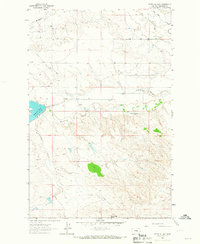
1963 · Petrolia Lake
USGS Topo · 1:24,000
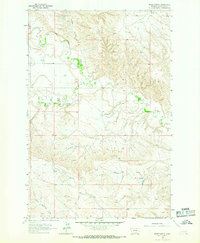
1963 · Breed Spring
USGS Topo · 1:24,000
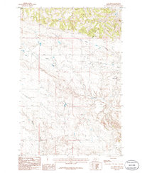
1986 · Cat Creek
USGS Topo · 1:24,000
1986 · Ingals Dam
USGS Topo · 1:24,000
1986 · Winnett North
USGS Topo · 1:24,000
1986 · Tin Can Hill
USGS Topo · 1:24,000