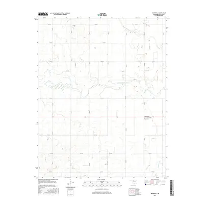
2016 Map of Ingersoll
USGS Topo · Published 2016About this map
The Salt Fork Arkansas River meanders across this Alfalfa County landscape, defining the topography of a region dominated by a strict sectional road grid. The small settlement of Ingersoll serves as a primary point of reference, situated along Broadway Ave where local commerce and residency clustered. To the north, the Keith Cem sits isolated among the drainage patterns of Driftwood Cr, offering a specific point of interest for genealogists tracing early families in this part of Oklahoma. The map reveals the relationship between these prairie watercourses and the established transport network, with Cottonwood Cr cutting through the southern sections. This survey provides a clear look at the rural infrastructure and land divisions that have characterized the area's development into the early 21st century.
Find a feature on this map
24 named features on this map. Tap any name to fly to it.
Don’t see what you’re looking for? This feature index may not catch every label — zoom into the map to look around manually.
Map Details
Editions of this 2016 Ingersoll Map
This is the sole edition of this map. No revisions or reprints were ever made.
Other maps of this area
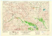
1955 · Woodward
USGS Topo · 1:250,000
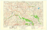
1958 · Woodward
USGS Topo · 1:250,000
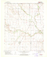
1968 · Capron
USGS Topo · 1:24,000
1969 · Dacoma
USGS Topo · 1:24,000
1969 · Lambert
USGS Topo · 1:24,000
1969 · Alva SE
USGS Topo · 1:24,000
1969 · Amorita
USGS Topo · 1:24,000
1969 · Burlington
USGS Topo · 1:24,000
1969 · Cherokee North
USGS Topo · 1:24,000
1969 · Ingersoll
USGS Topo · 1:24,000