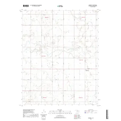
2018 Map of Ingersoll
USGS Topo · Published 2018About this map
The Salt Fork Arkansas River carves a wide path through this Alfalfa County landscape, defining the rural character of the region. The small settlement of Ingersoll sits at a junction of local routes, most notably where Broadway Ave meets the surrounding section line roads. This area reflects a traditional Great Plains land division system, with agriculture-supporting infrastructure such as E0140 Rd and E0160 Rd forming a rigid grid across the terrain. For genealogists, the Keith Cem in the northern reaches of the quadrangle serves as a key landmark for local family history research. The drainage patterns of Driftwood Cr and Cottonwood Cr provide a look at the natural hydrology that influenced early settlement and grazing patterns in this part of northern Oklahoma.
Find a feature on this map
21 named features on this map. Tap any name to fly to it.
Don’t see what you’re looking for? This feature index may not catch every label — zoom into the map to look around manually.
Map Details
Editions of this 2018 Ingersoll Map
This is the sole edition of this map. No revisions or reprints were ever made.
Other maps of this area
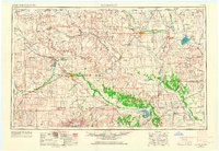
1955 · Woodward
USGS Topo · 1:250,000
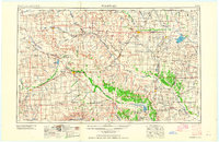
1958 · Woodward
USGS Topo · 1:250,000
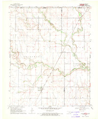
1968 · Capron
USGS Topo · 1:24,000
1969 · Dacoma
USGS Topo · 1:24,000
1969 · Lambert
USGS Topo · 1:24,000
1969 · Alva SE
USGS Topo · 1:24,000
1969 · Amorita
USGS Topo · 1:24,000
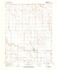
1969 · Burlington
USGS Topo · 1:24,000
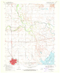
1969 · Cherokee North
USGS Topo · 1:24,000
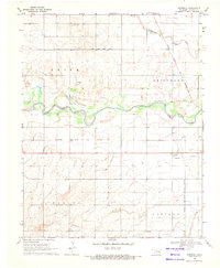
1969 · Ingersoll
USGS Topo · 1:24,000