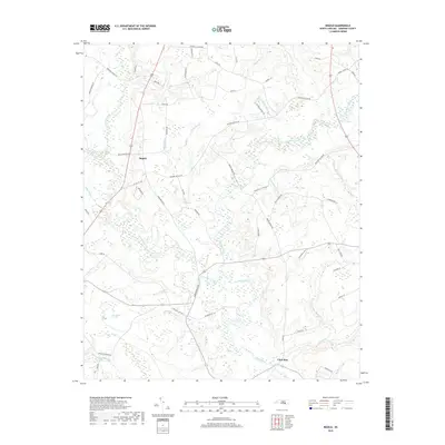
2019 Map of Ingold
USGS Topo · Published 2019About this map
Ingold and Clear Run anchor this section of Sampson County, where a intricate network of creeks and branches converges toward the Black River. The landscape is defined by its riparian geometry, with Great Coharie Creek and Little Coharie Creek winding through the western half of the quadrangle. To the east, numerous smaller tributaries like Spearmans Mill Cr and Robinson Mill Br suggest a history of water-driven industry, as these labels often denote former mill sites.
Find a feature on this map
60 named features on this map. Tap any name to fly to it.
Don’t see what you’re looking for? This feature index may not catch every label — zoom into the map to look around manually.
Map Details
Editions of this 2019 Ingold Map
This is the sole edition of this map. No revisions or reprints were ever made.
Other maps of this area

1953 · Florence
USGS Topo · 1:250,000

1954 · Florence
USGS Topo · 1:250,000

1954 · White Lake
USGS Topo · 1:62,500

1955 · Atkinson
USGS Topo · 1:62,500

1959 · Garland
USGS Topo · 1:62,500

1962 · Rose Hill
USGS Topo · 1:62,500

1982 · Elizabethtown
USGS Topo · 1:100,000
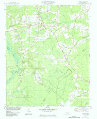
1984 · Harrells
USGS Topo · 1:24,000
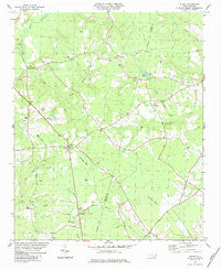
1984 · Delway
USGS Topo · 1:24,000
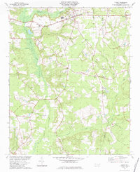
1984 · Turkey
USGS Topo · 1:24,000