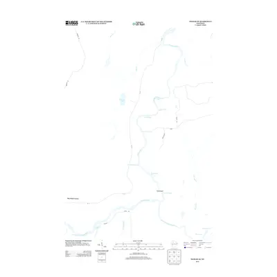
2013 Map of Ingram NE
USGS Topo · Published 2013About this map
The Flambeau River carves a complex course through this Rusk County landscape, characterized by a dense sequence of whitewater features including the First Porcupine Rapids, Second Porcupine Rapids, and Third Porcupine Rapids. Further south, the river meets the South Fork Flambeau River near Dodes Island, where the Flambeau Falls Rapids marks a significant change in the river's character. The landscape away from the water is defined by small tributaries like Hackett Cr and Deer Cr, which drain into the main stem.
Find a feature on this map
27 named features on this map. Tap any name to fly to it.
Don’t see what you’re looking for? This feature index may not catch every label — zoom into the map to look around manually.
Map Details
Editions of this 2013 Ingram NE Map
This is the sole edition of this map. No revisions or reprints were ever made.
Other maps of this area

1941 · Kennan
USGS Topo · 1:48,000

1941 · Kennedy
USGS Topo · 1:48,000

1944 · Draper
USGS Topo · 1:48,000

1945 · Kennedy
USGS Topo · 1:48,000

1945 · Kennan
USGS Topo · 1:48,000

1945 · Ingram
USGS Topo · 1:48,000

1947 · Ingram
USGS Topo · 1:48,000

1947 · Draper
USGS Topo · 1:48,000

1953 · Rice Lake
USGS Topo · 1:250,000

1959 · Rice Lake
USGS Topo · 1:250,000