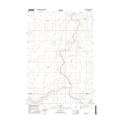
2015 Map of Ingram NE
USGS Topo · Published 2015About this map
The Flambeau River carves a winding path through the borderlands of Sawyer and Rusk counties in this 2015 study of the Wisconsin northwoods. This area is defined by its complex river navigation, marked by a series of named whitewater features including First Porcupine Rapids, Second Wannigan Rapids, and Flambeau Falls Rapids. These labels indicate a landscape where the river's descent was historically a critical factor for transportation and logging.
Find a feature on this map
35 named features on this map. Tap any name to fly to it.
Don’t see what you’re looking for? This feature index may not catch every label — zoom into the map to look around manually.
Map Details
Editions of this 2015 Ingram NE Map
This is the sole edition of this map. No revisions or reprints were ever made.
Other maps of this area

1941 · Kennan
USGS Topo · 1:48,000

1941 · Kennedy
USGS Topo · 1:48,000

1944 · Draper
USGS Topo · 1:48,000

1945 · Kennedy
USGS Topo · 1:48,000

1945 · Kennan
USGS Topo · 1:48,000

1945 · Ingram
USGS Topo · 1:48,000

1947 · Ingram
USGS Topo · 1:48,000

1947 · Draper
USGS Topo · 1:48,000

1953 · Rice Lake
USGS Topo · 1:250,000

1959 · Rice Lake
USGS Topo · 1:250,000