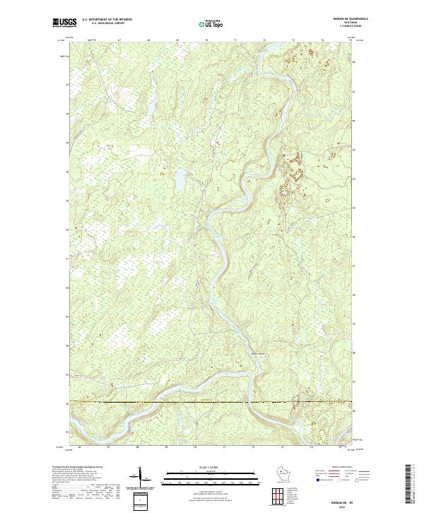
2022 Map of Ingram NE
USGS Topo · Published 2022About this map
The Flambeau River and its south fork dominate this section of the northern Wisconsin woods at the border of Sawyer and Rusk counties. This landscape is defined by the river’s rapid drops, with a series of named whitewater features including First Porcupine Rapid, Fifth Wannigan Rapids, and Flambeau Falls Rapids following the channel's winding course. The waterway meanders around Dodes Island as it flows through heavily marshy terrain marked by numerous creek confluences.
Find a feature on this map
36 named features on this map. Tap any name to fly to it.
Don’t see what you’re looking for? This feature index may not catch every label — zoom into the map to look around manually.
Map Details
Editions of this 2022 Ingram NE Map
This is the sole edition of this map. No revisions or reprints were ever made.
Other maps of this area

1941 · Kennan
USGS Topo · 1:48,000

1941 · Kennedy
USGS Topo · 1:48,000

1944 · Draper
USGS Topo · 1:48,000

1945 · Kennedy
USGS Topo · 1:48,000

1945 · Kennan
USGS Topo · 1:48,000

1945 · Ingram
USGS Topo · 1:48,000

1947 · Ingram
USGS Topo · 1:48,000

1947 · Draper
USGS Topo · 1:48,000

1953 · Rice Lake
USGS Topo · 1:250,000

1959 · Rice Lake
USGS Topo · 1:250,000