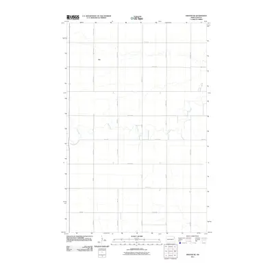
2011 Map of Inkster NE
USGS Topo · Published 2011About this map
Ops occupies the western edge of this agricultural landscape in Walsh County, where the grid of rural roads meets the meandering course of the Forest River. This 2011 survey illustrates the precise section-line geometry typical of the Red River Valley, with thoroughfares like County Rd 8 and 57th St Ne providing structure to the vast prairie farms. The Forest River cuts a distinct, winding path across the township, creating the only significant break in the rectilinear pattern of grain fields and service roads. Genealogists and local historians can trace the specific proximity of historic homesteads to these waterways and established section roads, such as 35th Ave, which define the spatial organization of this farming community in the early 21st century.
Find a feature on this map
24 named features on this map. Tap any name to fly to it.
Don’t see what you’re looking for? This feature index may not catch every label — zoom into the map to look around manually.
Map Details
Editions of this 2011 Inkster NE Map
This is the sole edition of this map. No revisions or reprints were ever made.
Other maps of this area

1926 · Ardoch
USGS Topo · 1:62,500

1943 · Grafton
USGS Topo · 1:62,500

1952 · Thief River Falls
USGS Topo · 1:250,000

1956 · Thief River Falls
USGS Topo · 1:250,000

1957 · Thief River Falls
USGS Topo · 1:250,000

1963 · Orr
USGS Topo · 1:24,000

1963 · Inkster NE
USGS Topo · 1:24,000

1963 · Pisek
USGS Topo · 1:24,000

1963 · Veseleyville
USGS Topo · 1:24,000
1963 · Inkster
USGS Topo · 1:24,000