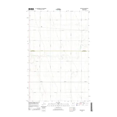
2014 Map of Inkster NE
USGS Topo · Published 2014About this map
Ops sits in the northern reaches of this Walsh County landscape, a small settlement defined by its position on the high plains of eastern North Dakota. The Forest River winds across the central portion of the sheet, its meanders cutting through the agricultural grid that organizes the terrain. The boundary between Walsh Co and Grand Forks Co runs west to east along 36th Ave NE, marking a significant political and administrative divide in the Red River Valley region. This 2014 survey illustrates the persistence of the section-line road system, with thoroughfares like Cr-19 and 144th Ave NE providing the primary structure for movement across the expansive farmsteads. The map captures the quiet, rural character of the area where water courses like the Forest River remain the primary natural breaks in a human-ordered landscape of fields and local roads.
Find a feature on this map
25 named features on this map. Tap any name to fly to it.
Don’t see what you’re looking for? This feature index may not catch every label — zoom into the map to look around manually.
Map Details
Editions of this 2014 Inkster NE Map
This is the sole edition of this map. No revisions or reprints were ever made.
Other maps of this area
1926 · Ardoch
USGS Topo · 1:62,500
1943 · Grafton
USGS Topo · 1:62,500

1952 · Thief River Falls
USGS Topo · 1:250,000

1956 · Thief River Falls
USGS Topo · 1:250,000

1957 · Thief River Falls
USGS Topo · 1:250,000
1963 · Orr
USGS Topo · 1:24,000
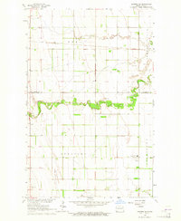
1963 · Inkster NE
USGS Topo · 1:24,000
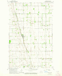
1963 · Pisek
USGS Topo · 1:24,000
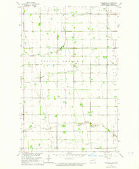
1963 · Veseleyville
USGS Topo · 1:24,000
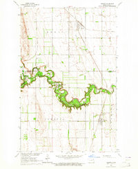
1963 · Inkster
USGS Topo · 1:24,000