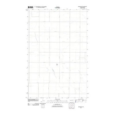
2011 Map of Inkster SE
USGS Topo · Published 2011About this map
Kleven Private Airport sits as a central landmark in this portion of Grand Forks County, surrounded by the geometric precision of the North Dakota section line grid. The landscape is defined by its agricultural layout, with roads such as 31st Ave NE and 23rd Ave NE providing the primary east-west corridors, while 34th St NE and 32nd St NE anchor the north-south transit.
Find a feature on this map
18 named features on this map. Tap any name to fly to it.
Don’t see what you’re looking for? This feature index may not catch every label — zoom into the map to look around manually.
Map Details
Editions of this 2011 Inkster SE Map
This is the sole edition of this map. No revisions or reprints were ever made.
Other maps of this area
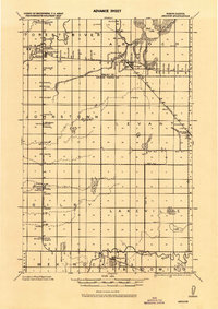
1926 · Ardoch
USGS Topo · 1:62,500
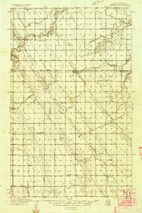
1934 · Emerado
USGS Topo · 1:48,000
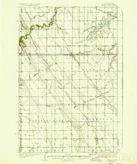
1936 · Emerado
USGS Topo · 1:62,500
1936 · Larimore
USGS Topo · 1:62,500
1952 · Grand Forks
USGS Topo · 1:250,000

1952 · Thief River Falls
USGS Topo · 1:250,000

1956 · Thief River Falls
USGS Topo · 1:250,000
1956 · Grand Forks
USGS Topo · 1:250,000

1957 · Thief River Falls
USGS Topo · 1:250,000
1963 · Orr
USGS Topo · 1:24,000