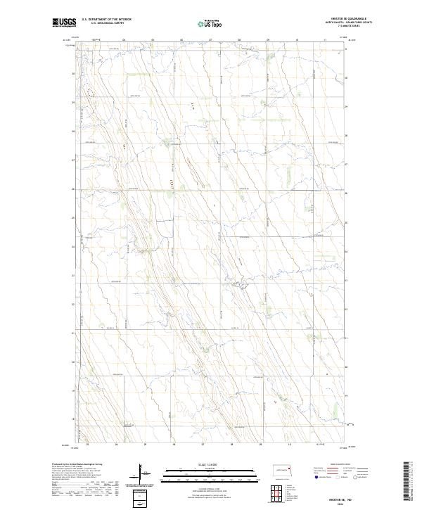
2024 Map of Inkster SE
USGS Topo · Published 2024About this map
The rectangular survey system of the North Dakota prairie is clearly defined here, where section lines and high-density agricultural road networks dictate the landscape. This 2024 map covers portions of townships t154n r54w, t153n r54w, and t152n r54w, illustrating the precise 1-mile grid typical of the Red River Valley hinterlands. Unlike maps of more rugged terrain, this sheet shows a territory where human geometry has completely organized the environment. Local transportation is anchored by Co Rd 14, while a series of numbered avenues like 31st Ave Ne and 23rd Ave Ne facilitate the movement of agricultural goods. The map is a detailed study of modern rural infrastructure, showing the persistence of the Public Land Survey System as the primary driver of property and road development in Grand Forks County.
Find a feature on this map
20 named features on this map. Tap any name to fly to it.
Don’t see what you’re looking for? This feature index may not catch every label — zoom into the map to look around manually.
Map Details
Editions of this 2024 Inkster SE Map
This is the sole edition of this map. No revisions or reprints were ever made.
Other maps of this area

1926 · Ardoch
USGS Topo · 1:62,500

1934 · Emerado
USGS Topo · 1:48,000

1936 · Emerado
USGS Topo · 1:62,500

1936 · Larimore
USGS Topo · 1:62,500

1952 · Grand Forks
USGS Topo · 1:250,000

1952 · Thief River Falls
USGS Topo · 1:250,000

1956 · Thief River Falls
USGS Topo · 1:250,000

1956 · Grand Forks
USGS Topo · 1:250,000

1957 · Thief River Falls
USGS Topo · 1:250,000

1963 · Orr
USGS Topo · 1:24,000