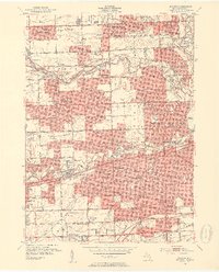
1952 Map of Inkster
USGS Topo · Published 1954About this map
Livonia, Garden City, and Dearborn define this 1952 landscape as post-war suburban development begins to fill the spaces between the branches of the Rouge River. The sheet detail covers a dense network of local schools and religious institutions, from St Bernard Seminary to the Ball Road Tabernacle, reflecting the rapid growth of residential communities in western Wayne County.
Find a feature on this map
96 named features on this map. Tap any name to fly to it.
Don’t see what you’re looking for? This feature index may not catch every label — zoom into the map to look around manually.
Map Details
Editions of this 1952 Inkster Map
2 editions found
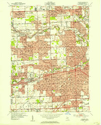
Other maps of this area

1905 · Wayne
USGS Topo · 1:62,500

1905 · Detroit
USGS Topo · 1:62,500

1906 · Wyandotte
USGS Topo · 1:62,500

1906 · Romulus
USGS Topo · 1:62,500

1912 · Wyandotte
USGS Topo · 1:62,500

1912 · Wayne
USGS Topo · 1:62,500

1918 · Detroit
USGS Topo · 1:62,500

1924 · Detroit
USGS Topo · 1:62,500

1928 · Romulus
USGS Topo · 1:62,500

1929 · Wyandotte
USGS Topo · 1:62,500