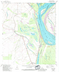
1965 Map of Innis
USGS Topo · Published 1994About this map
The Mississippi River dominates this landscape at the confluence of the Raccourci River and Lower Old River, where the boundaries of Pointe Coupee, West Feliciana, and Concordia Parishes meet. The river's historical shifts are visible through numerous oxbow lakes and backwaters, including Big Lake Moreau, Clear Lake, and Levee Lake. Settlement is concentrated along the western levees and back-slope terrain, anchored by the town of Lettsworth and the northern junction at Torras.
Find a feature on this map
70 named features on this map. Tap any name to fly to it.
Don’t see what you’re looking for? This feature index may not catch every label — zoom into the map to look around manually.
Map Details
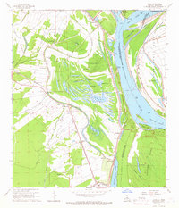
Editions of this 1965 Innis Map
2 editions found
Other maps of this area

1939 · Artonish
USGS Topo · 1:62,500

1941 · Voorhies
USGS Topo · 1:62,500

1941 · Batchelor
USGS Topo · 1:62,500

1953 · Natchez
USGS Topo · 1:250,000

1954 · Artonish
USGS Topo · 1:62,500

1954 · Baton Rouge
USGS Topo · 1:250,000

1955 · Artonish
USGS Topo · 1:62,500

1955 · Batchelor
USGS Topo · 1:62,500

1955 · Odenburg
USGS Topo · 1:62,500

1956 · Natchez
USGS Topo · 1:250,000