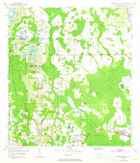
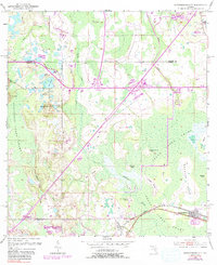
1953 Map of Intercession City
USGS Topo · Published 1965About this map
Intercession City stands as the primary settlement in this low-lying landscape where the borders of Orange, Osceola, and Polk counties meet. The community is situated along the Atlantic Coast Line railroad, south of the extensive Reedy Creek Swamp. This mid-century survey reveals a terrain defined by complex water systems and island-like rises in the wetlands, including Smokehouse Island and Orange Grove Island. The presence of an Old Railroad Grade north of Reedy Creek suggests a changing transport network as the region transitioned from its early logging or agricultural roots. Local landmarks such as the Oak Hill Ch and elevated points like Bunker Hill provide essential reference points for researchers studying the historical geography of this section of Central Florida before more modern developments altered the character of these extensive wetlands.
Find a feature on this map
29 named features on this map. Tap any name to fly to it.
Don’t see what you’re looking for? This feature index may not catch every label — zoom into the map to look around manually.
Map Details
Editions of this 1953 Intercession City Map
6 editions found
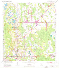
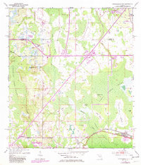
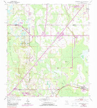
Other maps of this area

1953 · Lake Jessamine
USGS Topo · 1:24,000

1953 · Lake Tohopekaliga
USGS Topo · 1:24,000

1953 · Kissimmee
USGS Topo · 1:24,000

1953 · Windermere
USGS Topo · 1:24,000

1953 · Intercession City
USGS Topo · 1:24,000

1953 · Davenport
USGS Topo · 1:24,000

1955 · Orlando
USGS Topo · 1:250,000

1957 · Orlando
USGS Topo · 1:250,000

1958 · Orlando
USGS Topo · 1:250,000

1959 · Gum Lake
USGS Topo · 1:24,000