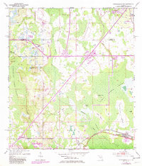
1953 Map of Intercession City
USGS Topo · Published 1981About this map
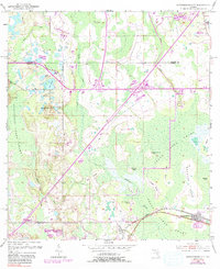
Intercession City and the northern reaches of Reedy Creek Swamp define this Central Florida landscape during a period of transition. The map captures the corridor where the Seaboard and Coast Line railroads intersect, a critical junction for regional transport. While much of the terrain is dominated by the vast drainage systems of Reedy Creek and Davenport Creek, several named islands rise from the wetlands, including Smokehouse Island, Cane Island, and Orange Grove Island, hinting at earlier agricultural or homesteading attempts in the cypress strands.
Find a feature on this map
34 named features on this map. Tap any name to fly to it.
Don’t see what you’re looking for? This feature index may not catch every label — zoom into the map to look around manually.
Map Details
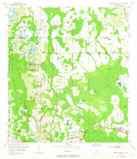
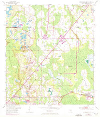
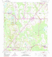
Editions of this 1953 Intercession City Map
6 editions found
Other maps of this area

1953 · Lake Jessamine
USGS Topo · 1:24,000

1953 · Lake Tohopekaliga
USGS Topo · 1:24,000

1953 · Kissimmee
USGS Topo · 1:24,000

1953 · Windermere
USGS Topo · 1:24,000

1953 · Intercession City
USGS Topo · 1:24,000

1953 · Davenport
USGS Topo · 1:24,000

1955 · Orlando
USGS Topo · 1:250,000

1957 · Orlando
USGS Topo · 1:250,000

1958 · Orlando
USGS Topo · 1:250,000

1959 · Gum Lake
USGS Topo · 1:24,000