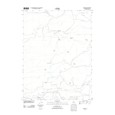
2012 Map of Inwood
USGS Topo · Published 2012About this map
Inwood and the neighboring community of Midway serve as central points in this landscape of the Shasta County foothills during the early twenty-first century. The map reveals a region defined by numerous family-named ranches and roads, such as Witherow Ranch and Hufford Ranch Rd, indicating a persistent pattern of rural property ownership. Genealogy researchers may find particular value in the Ogburn Inwood Cem, located just north of the Shingle Cr drainage.
Find a feature on this map
54 named features on this map. Tap any name to fly to it.
Don’t see what you’re looking for? This feature index may not catch every label — zoom into the map to look around manually.
Map Details
Editions of this 2012 Inwood Map
This is the sole edition of this map. No revisions or reprints were ever made.
Other maps of this area

1886 · Lassen Peak
USGS Topo · 1:250,000

1890 · Red Bluff
USGS Topo · 1:250,000

1892 · Lassen Peak
USGS Topo · 1:250,000

1894 · Lassen Peak
USGS Topo · 1:250,000

1894 · Red Bluff
USGS Topo · 1:250,000

1901 · Redding
USGS Topo · 1:125,000

1935 · Burney
USGS Topo · 1:96,000

1935 · Paynes Creek
USGS Topo · 1:96,000

1939 · Burney
USGS Topo · 1:125,000

1941 · Mineral
USGS Topo · 1:125,000