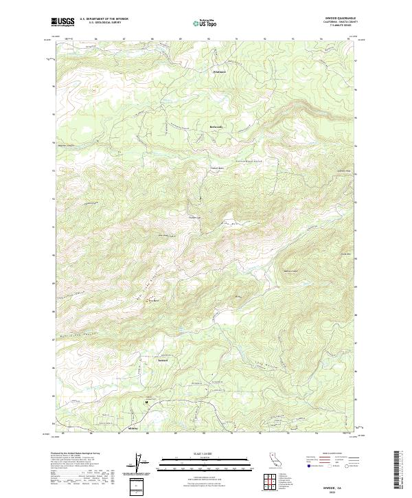
2022 Map of Inwood
USGS Topo · Published 2022About this map
Whitmore and Inwood anchor this survey of eastern Shasta County, where the landscape is defined by the complex drainage of the Cow Creek and Bear Creek systems. The topography is marked by significant elevation changes, from the depths of Bear Creek Canyon up to the heights of Alamine Peak and Chalk Mtn. A network of ranch roads, such as Hufford Ranch Rd and Morelli Ranch Rd, suggests a long-standing history of rural land use and livestock operations. Genealogists will find interest in the Inwood Cem located near the Ogburn Inwood Cem site, while natural landmarks like Bear Creek Falls and the jagged Bonnie Craigs provide clear orientation in this transitional terrain between the valley floor and the higher mountain peaks. The map also identifies smaller gathering points such as Redwoods and Midway, connected by historical routes like Ponderosa Way.
Find a feature on this map
69 named features on this map. Tap any name to fly to it.
Don’t see what you’re looking for? This feature index may not catch every label — zoom into the map to look around manually.
Map Details
Editions of this 2022 Inwood Map
This is the sole edition of this map. No revisions or reprints were ever made.
Other maps of this area

1886 · Lassen Peak
USGS Topo · 1:250,000

1890 · Red Bluff
USGS Topo · 1:250,000

1892 · Lassen Peak
USGS Topo · 1:250,000

1894 · Lassen Peak
USGS Topo · 1:250,000

1894 · Red Bluff
USGS Topo · 1:250,000

1901 · Redding
USGS Topo · 1:125,000

1935 · Burney
USGS Topo · 1:96,000

1935 · Paynes Creek
USGS Topo · 1:96,000

1939 · Burney
USGS Topo · 1:125,000

1941 · Mineral
USGS Topo · 1:125,000