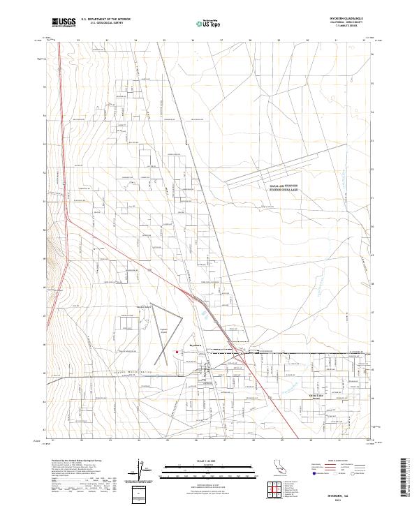
2021 Map of Inyokern
USGS Topo · Published 2021About this map
Inyokern serves as the central hub of this desert landscape, situated within the Indian Wells Valley at the western edge of the Mojave Desert. The map reveals a structured grid of residential development and utility access, particularly around China Lake Acres and the northern reaches toward Argus. The dominance of the Inyokern Airport highlights the area's importance as an aviation and transportation node for this corner of Kern County.
Find a feature on this map
123 named features on this map. Tap any name to fly to it.
Don’t see what you’re looking for? This feature index may not catch every label — zoom into the map to look around manually.
Map Details
Editions of this 2021 Inyokern Map
This is the sole edition of this map. No revisions or reprints were ever made.
Other maps of this area

1915 · Searles Lake
USGS Topo · 1:250,000

1943 · Inyokern
USGS Topo · 1:62,500

1947 · Trona
USGS Topo · 1:250,000

1948 · Trona
USGS Topo · 1:250,000

1953 · Mountain Springs Canyon
USGS Topo · 1:62,500

1953 · Ridgecrest
USGS Topo · 1:62,500

1953 · Trona
USGS Topo · 1:250,000

1954 · Little Lake
USGS Topo · 1:62,500

1957 · Trona
USGS Topo · 1:250,000

1960 · Trona
USGS Topo · 1:250,000