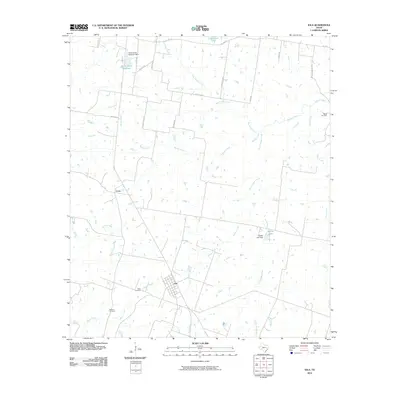
2010 Map of Iola
USGS Topo · Published 2010About this map
Iola serves as the primary hub in this Grimes County landscape, where the local road network converges among a complex system of tributaries feeding into Bedias Creek. To the west, the settlement of Cross sits near the headwaters of Morgan Creek, illustrating the dispersed residential pattern typical of this era. The geography is defined by its water management and ancestral sites, featuring the South Zulch Reservoir in the north and several smaller impoundments like Walker Lake and LFD Ranch Lake. For genealogists and local historians, the placement of Zion Cemetery, Bethel Cemetery, and Howard Cemetery offers vital physical links to the families who established these rural communities. The terrain is deeply etched by numerous waterways, including Neeley Creek, Ragan Creek, and Big Turkey Creek, which have historically dictated the placement of farms and thoroughfares across this portion of east-central Texas.
Find a feature on this map
32 named features on this map. Tap any name to fly to it.
Don’t see what you’re looking for? This feature index may not catch every label — zoom into the map to look around manually.
Map Details
Editions of this 2010 Iola Map
This is the sole edition of this map. No revisions or reprints were ever made.
Other maps of this area

1925 · Iola No 2
USGS Topo · 1:48,000

1931 · Iola
USGS Topo · 1:62,500

1954 · Beaumont
USGS Topo · 1:250,000

1954 · Austin
USGS Topo · 1:250,000

1956 · Carlos
USGS Topo · 1:62,500

1957 · Beaumont
USGS Topo · 1:250,000

1959 · Clear Lake
USGS Topo · 1:24,000

1959 · Reliance
USGS Topo · 1:24,000

1961 · Singleton
USGS Topo · 1:24,000

1962 · Keith
USGS Topo · 1:24,000