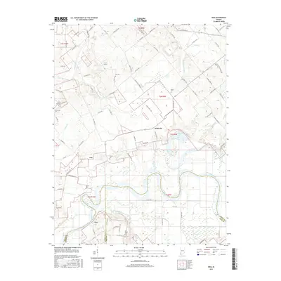
2016 Map of Iona
USGS Topo · Published 2016About this map
The White River carves a winding path across the southern landscape of this Indiana quadrangle, marking the boundary where Knox, Gibson, and Pike counties converge. This riverine environment is characterized by numerous oxbows and seasonal water bodies like Half Moon Pond, which are fed by a network of tributaries including Wilson Creek, Conger Cr, and Harbin Creek.
Find a feature on this map
92 named features on this map. Tap any name to fly to it.
Don’t see what you’re looking for? This feature index may not catch every label — zoom into the map to look around manually.
Map Details
Editions of this 2016 Iona Map
This is the sole edition of this map. No revisions or reprints were ever made.
Other maps of this area

1901 · Princeton
USGS Topo · 1:62,500

1902 · Ditney
USGS Topo · 1:125,000

1903 · Petersburg
USGS Topo · 1:62,500

1903 · Princeton
USGS Topo · 1:62,500

1903 · Patoka
USGS Topo · 1:125,000

1915 · Vincennes
USGS Topo · 1:62,500

1942 · Fritchton
USGS Topo · 1:24,000

1944 · Fritchton
USGS Topo · 1:24,000

1944 · Monroe City
USGS Topo · 1:24,000

1944 · Wheatland
USGS Topo · 1:24,000