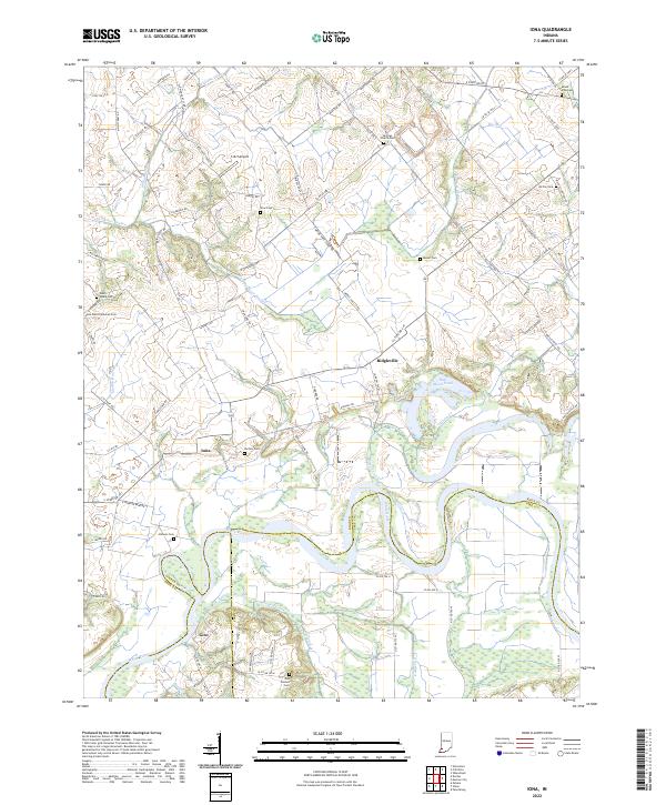
2022 Map of Iona
USGS Topo · Published 2022About this map
White River oxbows and rural crossings define this portion of the Indiana landscape along the borders of Knox, Pike, and Gibson counties. Small settlements like Ridgeville, Iona, and Giro serve as quiet centers for a region deeply rooted in agricultural and family history. The terrain is marked by numerous historic burial grounds, including the Odd Fellows Cem, Saint Peter Lutheran Cem, and Hartley Cem, which offer significant value for genealogists tracing local lineage.
Find a feature on this map
99 named features on this map. Tap any name to fly to it.
Don’t see what you’re looking for? This feature index may not catch every label — zoom into the map to look around manually.
Map Details
Editions of this 2022 Iona Map
This is the sole edition of this map. No revisions or reprints were ever made.
Other maps of this area

1901 · Princeton
USGS Topo · 1:62,500

1902 · Ditney
USGS Topo · 1:125,000

1903 · Petersburg
USGS Topo · 1:62,500

1903 · Princeton
USGS Topo · 1:62,500

1903 · Patoka
USGS Topo · 1:125,000

1915 · Vincennes
USGS Topo · 1:62,500

1942 · Fritchton
USGS Topo · 1:24,000

1944 · Fritchton
USGS Topo · 1:24,000

1944 · Monroe City
USGS Topo · 1:24,000

1944 · Wheatland
USGS Topo · 1:24,000