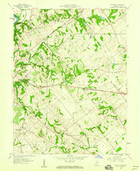
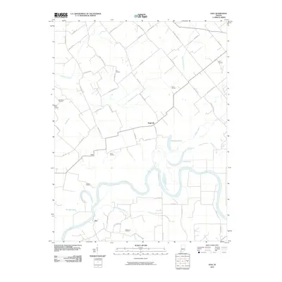
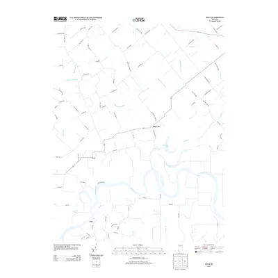
1944 Map of Iona
USGS Topo · Published 1944About this map
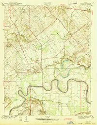
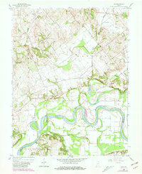
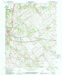
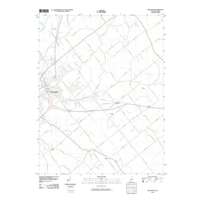
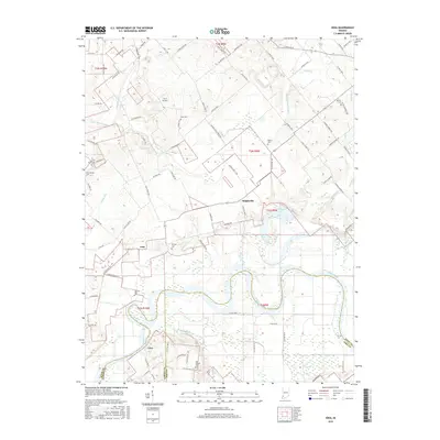
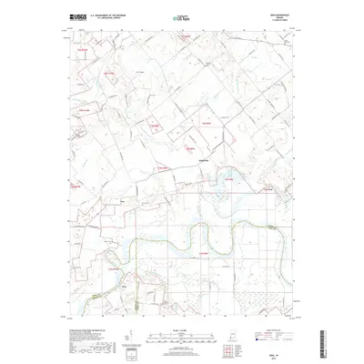
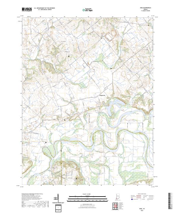
The White River carves a dramatic, meandering path across this landscape, serving as a prominent county boundary between Knox, Gibson, and Pike counties. The river valley is defined by distinctive oxbow formations and wetlands like Half Moon Pond and Hill Pond, which reflect the dynamic nature of the waterway. Small rural settlements like Iona and Ridgeville anchor the surrounding agricultural land, which is divided by a network of drainage systems including the Trinity Ch Ditch and Decker Ditch.
Find a feature on this map
36 named features on this map. Tap any name to fly to it.
Don’t see what you’re looking for? This feature index may not catch every label — zoom into the map to look around manually.
Map Details
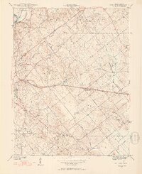
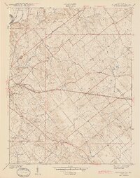
Editions of this 1944 Iona Map
2 editions found
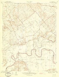
Historical Maps of Iona Through Time
16 maps found
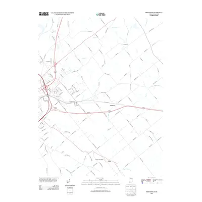
1942 Fritchton
Knox County, IN
1944 Fritchton
Knox County, IN
1944 Iona
Knox County, IN
1958 Fritchton
Knox County, IN
1958 Iona
Knox County, IN
1974 Fritchton
Knox County, IN
2010 Fritchton
Knox County, IN
2010 Iona
Knox County, IN
2013 Fritchton
Knox County, IN
2013 Iona
Knox County, IN
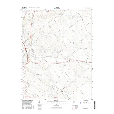
2016 Fritchton
Knox County, IN
2016 Iona
Knox County, IN
2019 Fritchton
Knox County, IN
2019 Iona
Knox County, IN
2022 Fritchton
Knox County, IN
2022 Iona
Knox County, IN