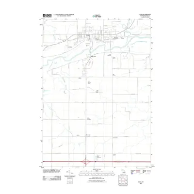
2011 Map of Ionia
USGS Topo · Published 2011About this map
The Grand River carves a central path through this region of Ionia County, separating the primary settlement of Ionia from South Ionia. The town's layout is defined by its institutional and civic presence, including the Ionia State Reformatory and the Ionia Post Office, while the Ionia Fair Grounds occupy a prominent bend in the river. To the east, the smaller community of Prairie sits near the confluence of Prairie Creek and the river, surrounded by several burial grounds like Oakhill Cemetery and Mount Olivet Catholic Cemetery.
Find a feature on this map
92 named features on this map. Tap any name to fly to it.
Don’t see what you’re looking for? This feature index may not catch every label — zoom into the map to look around manually.
Map Details
Editions of this 2011 Ionia Map
This is the sole edition of this map. No revisions or reprints were ever made.
Other maps of this area

1916 · Ionia
USGS Topo · 1:62,500

1918 · Ionia
USGS Topo · 1:62,500

1943 · Ionia
USGS Topo · 1:62,500

1945 · Portland
USGS Topo · 1:62,500

1954 · Midland
USGS Topo · 1:250,000

1958 · Midland
USGS Topo · 1:250,000

1958 · Grand Rapids
USGS Topo · 1:250,000

1959 · Midland
USGS Topo · 1:250,000

1961 · Grand Rapids
USGS Topo · 1:250,000

1962 · Grand Rapids
USGS Topo · 1:250,000