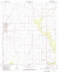
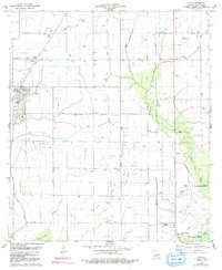
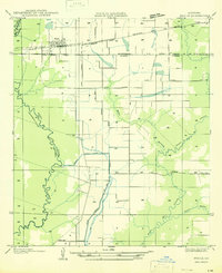
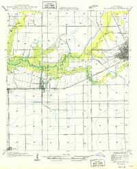
1983 Map of Iota
USGS Topo · Published 1983About this map
Agricultural development across this Acadia Parish landscape is defined by an intricate network of siphons, flumes, and ditches, indicating the intensive water management required for regional rice farming. The settlement of Iota serves as a central hub, while smaller communities like Maxie and Ellis are connected by the Missouri Pacific railroad. The map reveals a working landscape where aviation and industry intersect with rural life, seen in the presence of the Schultz Landing Strip and numerous oil wells scattered among the fields.
Find a feature on this map
26 named features on this map. Tap any name to fly to it.
Don’t see what you’re looking for? This feature index may not catch every label — zoom into the map to look around manually.
Map Details
Editions of this 1983 Iota Map
2 editions found
Other maps of this area

1935 · Branch
USGS Topo · 1:31,680
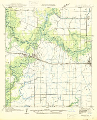
1946 · Mermentau
USGS Topo · 1:31,680

1946 · Rayne
USGS Topo · 1:31,680

1947 · Evangeline
USGS Topo · 1:31,680

1947 · Branch
USGS Topo · 1:31,680

1947 · Eunice
USGS Topo · 1:31,680
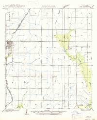
1947 · Iota
USGS Topo · 1:31,680

1947 · Pitreville
USGS Topo · 1:31,680
1947 · Basile
USGS Topo · 1:31,680
1949 · Estherwood
USGS Topo · 1:31,680