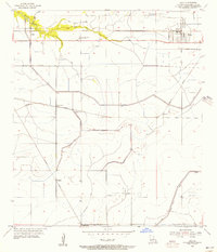
1955 Map of Iowa
USGS Topo · Published 1956About this map
Iowa Oil and Gas Field and the Bell City Gas Field anchor the eastern and southern edges of this Calcasieu Parish landscape, reflecting the mid-century energy economy of southwest Louisiana. The town of Iowa sits at the junction of the Southern Pacific and Missouri Pacific railroads, serving as a primary transportation hub for the surrounding prairies. The map details a complex network of water management, including the Government Ditch, Jones Canal, and extensive levee systems designed to control the flow of the English Bayou and its forks.
Find a feature on this map
24 named features on this map. Tap any name to fly to it.
Don’t see what you’re looking for? This feature index may not catch every label — zoom into the map to look around manually.
Map Details
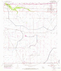
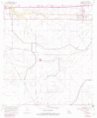
Editions of this 1955 Iowa Map
3 editions found
Other maps of this area

1932 · Lake Charles NE
USGS Topo · 1:31,680

1932 · Lake Charles NW
USGS Topo · 1:31,680

1932 · Lake Charles SW
USGS Topo · 1:31,680

1932 · Lake Charles SE
USGS Topo · 1:31,680

1935 · Moss Bluff
USGS Topo · 1:31,680

1942 · Lake Charles
USGS Topo · 1:62,500

1946 · Lacassine
USGS Topo · 1:31,680

1946 · Hayes
USGS Topo · 1:31,680

1947 · Fenton
USGS Topo · 1:31,680

1947 · Moss Bluff
USGS Topo · 1:31,680