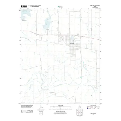
2010 Map of Iowa Park
USGS Topo · Published 2010About this map
Iowa Park serves as the central hub of this North Texas landscape, situated between the intricate drainage systems of the Wichita River to the south and the North Fork Buffalo Creek Reservoir to the northwest. The town's grid is bounded by significant local landmarks including Highland Cemetery and Gordon Lake, while the surrounding prairie is defined by agricultural infrastructure like the North Side Canal. This 2010 survey illustrates the complex relationship between the area's natural watercourses, such as Stevens Creek and Deep Creek, and the man-made reservoirs essential for life in Wichita County. Local geography is further marked by distinct terrain features such as Temple Hill and Bare Butte, which rise above the plains near the meandering course of Antelope Creek. The map provides a detailed view of the regional transit network, from state routes to named local thoroughfares like Bacon Switch Rd and Old Electra Rd.
Find a feature on this map
58 named features on this map. Tap any name to fly to it.
Don’t see what you’re looking for? This feature index may not catch every label — zoom into the map to look around manually.
Map Details
Editions of this 2010 Iowa Park Map
This is the sole edition of this map. No revisions or reprints were ever made.
Other maps of this area

1915 · Clara
USGS Topo · 1:24,000

1915 · Barwise School
USGS Topo · 1:24,000

1915 · Burkburnett
USGS Topo · 1:24,000

1916 · Iowa Park
USGS Topo · 1:24,000

1916 · Fowlkes
USGS Topo · 1:24,000

1918 · Buckburnett
USGS Topo · 1:31,680

1918 · Barwise School
USGS Topo · 1:31,680

1918 · Clara
USGS Topo · 1:31,680

1918 · Iowa Park
USGS Topo · 1:31,680

1919 · Fowlkes
USGS Topo · 1:31,680