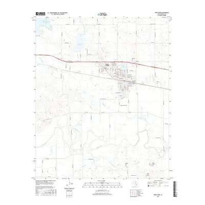
2016 Map of Iowa Park
USGS Topo · Published 2016About this map
Iowa Park serves as the central hub of this North Texas landscape, where the residential grid meets a complex network of waterways and ranch roads. The town's surroundings are defined by the Wichita River to the south and a series of managed water bodies, including the N Fork Buffalo Cr Reservoir and Lake Iowa Park. This 2016 survey illustrates the balance between municipal expansion and the area's agricultural roots, with numerous farm-to-market roads like FM 368 N and FM 1814 connecting the town to the outlying plains. Topographical interest is found at Temple Hill and Bare Butte, rising above the drainages of Antelope Cr and Buffalo Cr. For those researching local heritage, the Highland Cem stands north of the main settlement, while the Cactus Hill Airport marks the southeastern reaches of the territory.
Find a feature on this map
103 named features on this map. Tap any name to fly to it.
Don’t see what you’re looking for? This feature index may not catch every label — zoom into the map to look around manually.
Map Details
Editions of this 2016 Iowa Park Map
This is the sole edition of this map. No revisions or reprints were ever made.
Other maps of this area

1915 · Clara
USGS Topo · 1:24,000

1915 · Barwise School
USGS Topo · 1:24,000

1915 · Burkburnett
USGS Topo · 1:24,000

1916 · Iowa Park
USGS Topo · 1:24,000

1916 · Fowlkes
USGS Topo · 1:24,000

1918 · Buckburnett
USGS Topo · 1:31,680

1918 · Barwise School
USGS Topo · 1:31,680

1918 · Clara
USGS Topo · 1:31,680

1918 · Iowa Park
USGS Topo · 1:31,680

1919 · Fowlkes
USGS Topo · 1:31,680