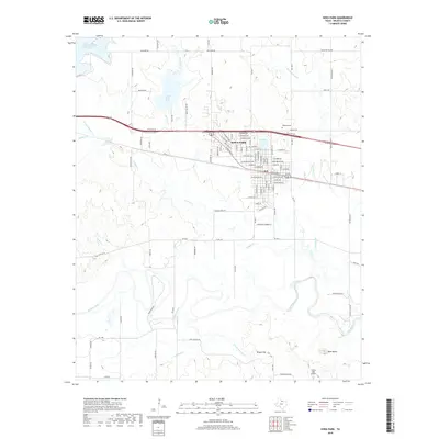
2019 Map of Iowa Park
USGS Topo · Published 2019About this map
Iowa Park serves as the central hub of this North Texas landscape, where a dense grid of residential streets like W Magnolia Ave and W Washington Ave meets the essential water infrastructure of the southern plains. The township is cradled by several water bodies, including Lake Iowa Park and Gordon Lake, reflecting the region's managed hydraulic environment. To the north, the North Fork Buffalo Creek Reservoir dominates the drainage basin, while the Wichita River meanders across the southern portion of the quadrangle.
Find a feature on this map
105 named features on this map. Tap any name to fly to it.
Don’t see what you’re looking for? This feature index may not catch every label — zoom into the map to look around manually.
Map Details
Editions of this 2019 Iowa Park Map
This is the sole edition of this map. No revisions or reprints were ever made.
Other maps of this area
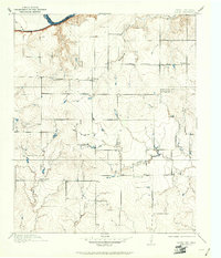
1915 · Clara
USGS Topo · 1:24,000
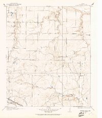
1915 · Barwise School
USGS Topo · 1:24,000
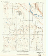
1915 · Burkburnett
USGS Topo · 1:24,000
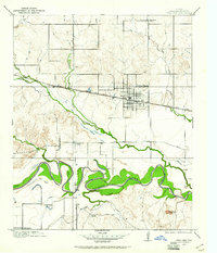
1916 · Iowa Park
USGS Topo · 1:24,000
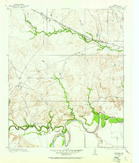
1916 · Fowlkes
USGS Topo · 1:24,000
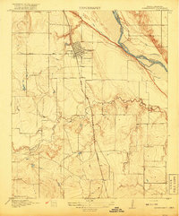
1918 · Buckburnett
USGS Topo · 1:31,680
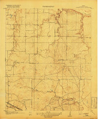
1918 · Barwise School
USGS Topo · 1:31,680
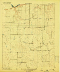
1918 · Clara
USGS Topo · 1:31,680
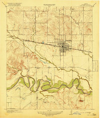
1918 · Iowa Park
USGS Topo · 1:31,680
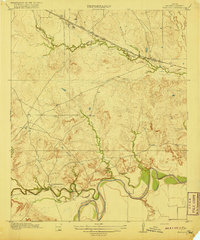
1919 · Fowlkes
USGS Topo · 1:31,680