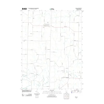
2012 Map of Ipava
USGS Topo · Published 2012About this map
Ipava stands as the primary hub of this Fulton County landscape, where the local road network converges around a core of early 21st-century settlement. The region is defined by its deep agricultural and genealogical roots, evidenced by the high density of small burial grounds that mark the countryside. From the Quaker Cem and Fleming Cem in the west to Hart Cem near the eastern border, these sites provide essential reference points for local history. The township is further anchored by Summum in the southeast and the small community of Howard to the north.
Find a feature on this map
70 named features on this map. Tap any name to fly to it.
Don’t see what you’re looking for? This feature index may not catch every label — zoom into the map to look around manually.
Map Details
Editions of this 2012 Ipava Map
This is the sole edition of this map. No revisions or reprints were ever made.
Other maps of this area

1918 · Vermont
USGS Topo · 1:62,500

1921 · Vermont
USGS Topo · 1:62,500

1925 · Havana
USGS Topo · 1:62,500

1926 · Beardstown
USGS Topo · 1:62,500

1930 · Chandlerville
USGS Topo · 1:62,500

1932 · Chandlerville
USGS Topo · 1:62,500

1944 · Beardstown
USGS Topo · 1:62,500

1947 · Lewistown
USGS Topo · 1:24,000

1947 · Vermont
USGS Topo · 1:24,000

1947 · Adair
USGS Topo · 1:24,000