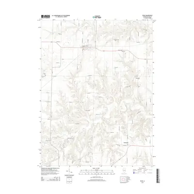
2015 Map of Ipava
USGS Topo · Published 2015About this map
Ipava and Summum anchor this portion of Fulton County, showing a landscape defined by an extensive network of family and community burial grounds. The abundance of sites like the Old Ipava Cem, Quaker Cem, and Montgomery Cem provides a significant genealogical map of early settlement patterns in the Illinois interior. The terrain is deeply dissected by a drainage system including Otter Cr, Tater Cr, and Jake Cr, which creates the winding road corridors that break the traditional section-line grid.
Find a feature on this map
66 named features on this map. Tap any name to fly to it.
Don’t see what you’re looking for? This feature index may not catch every label — zoom into the map to look around manually.
Map Details
Editions of this 2015 Ipava Map
This is the sole edition of this map. No revisions or reprints were ever made.
Other maps of this area
1918 · Vermont
USGS Topo · 1:62,500
1921 · Vermont
USGS Topo · 1:62,500
1925 · Havana
USGS Topo · 1:62,500
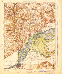
1926 · Beardstown
USGS Topo · 1:62,500
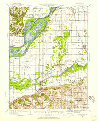
1930 · Chandlerville
USGS Topo · 1:62,500
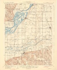
1932 · Chandlerville
USGS Topo · 1:62,500
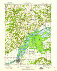
1944 · Beardstown
USGS Topo · 1:62,500
1947 · Lewistown
USGS Topo · 1:24,000
1947 · Vermont
USGS Topo · 1:24,000
1947 · Adair
USGS Topo · 1:24,000