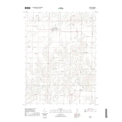
2018 Map of Ipava
USGS Topo · Published 2018About this map
Ipava serves as the primary hub of this rural landscape, situated at the intersection of E Main St and N Camp Rd. The town layout is clearly defined by local thoroughfares such as E Broadway St and E Mechanic St, while the surrounding countryside is dotted with a remarkably high concentration of small family and community burial grounds. These include the Old Ipava Cem and Ipava Cem near the town center, as well as the Montgomery Cem and Lacey Cem situated further east near N Tater Creek RD.
Find a feature on this map
80 named features on this map. Tap any name to fly to it.
Don’t see what you’re looking for? This feature index may not catch every label — zoom into the map to look around manually.
Map Details
Editions of this 2018 Ipava Map
This is the sole edition of this map. No revisions or reprints were ever made.
Other maps of this area
1918 · Vermont
USGS Topo · 1:62,500
1921 · Vermont
USGS Topo · 1:62,500
1925 · Havana
USGS Topo · 1:62,500
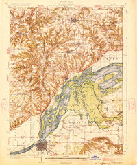
1926 · Beardstown
USGS Topo · 1:62,500
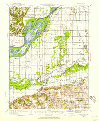
1930 · Chandlerville
USGS Topo · 1:62,500
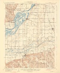
1932 · Chandlerville
USGS Topo · 1:62,500
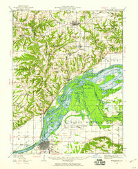
1944 · Beardstown
USGS Topo · 1:62,500
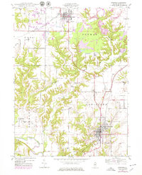
1947 · Lewistown
USGS Topo · 1:24,000
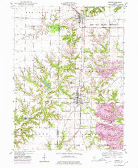
1947 · Vermont
USGS Topo · 1:24,000
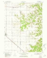
1947 · Adair
USGS Topo · 1:24,000