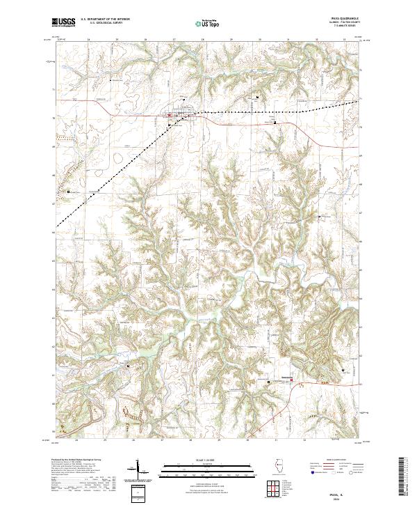
2024 Map of Ipava
USGS Topo · Published 2024About this map
The village of Ipava sits at the northern end of this Fulton County landscape, where the flat upland agricultural fields give way to the intricate drainage network of Otter Creek. This central waterway and its many branches, including South Branch Otter Creek and Jake Creek, carve a series of deep, wooded ravines into the prairie. These natural corridors have historically influenced local settlement patterns and the placement of country roads, which often skirt the edges of the creek bluffs.
Find a feature on this map
74 named features on this map. Tap any name to fly to it.
Don’t see what you’re looking for? This feature index may not catch every label — zoom into the map to look around manually.
Map Details
Editions of this 2024 Ipava Map
This is the sole edition of this map. No revisions or reprints were ever made.
Other maps of this area

1918 · Vermont
USGS Topo · 1:62,500

1921 · Vermont
USGS Topo · 1:62,500

1925 · Havana
USGS Topo · 1:62,500

1926 · Beardstown
USGS Topo · 1:62,500

1930 · Chandlerville
USGS Topo · 1:62,500

1932 · Chandlerville
USGS Topo · 1:62,500

1944 · Beardstown
USGS Topo · 1:62,500

1947 · Lewistown
USGS Topo · 1:24,000

1947 · Vermont
USGS Topo · 1:24,000

1947 · Adair
USGS Topo · 1:24,000