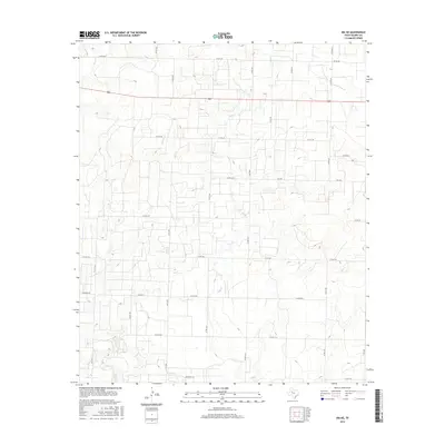
2016 Map of Ira NE
USGS Topo · Published 2016About this map
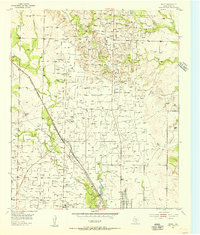
Bluff Cr and Chimney Cr cut through the West Texas landscape of Scurry County in this 2016 survey, defining a drainage pattern that flows toward the S Fork Deep Cr in the northeast. The area is characterized by a sparse, grid-like network of rural routes, including Springer Rd and Gernandt Ln, which navigate the subtle elevation changes of the high plains. Unlike earlier eras of intensive rail or river commerce, this map reflects a modern rural infrastructure dominated by ranch roads and state highways like 180. The terrain is marked by ephemeral waterways such as Moore Cr, which carve shallow draws across the territory, illustrating the hydrological character of the region. This document serves as a detailed record of land use and property access in a part of the state where wide-open spaces are segmented by a complex web of county roads.
Find a feature on this map
34 named features on this map. Tap any name to fly to it.
Don’t see what you’re looking for? This feature index may not catch every label — zoom into the map to look around manually.
Map Details
Editions of this 2016 Ira NE Map
This is the sole edition of this map. No revisions or reprints were ever made.
Other maps of this area
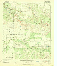
1951 · Ira SW
USGS Topo · 1:24,000
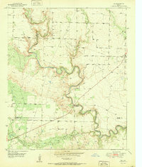
1951 · Ira
USGS Topo · 1:24,000
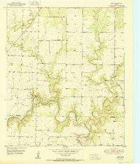
1951 · Dunn
USGS Topo · 1:24,000
1951 · Ira NW
USGS Topo · 1:24,000
1952 · Snyder
USGS Topo · 1:24,000
1952 · Ira NE
USGS Topo · 1:24,000
1954 · Dermott
USGS Topo · 1:24,000
1954 · Brand
USGS Topo · 1:24,000

1954 · Big Spring
USGS Topo · 1:250,000

1958 · Big Spring
USGS Topo · 1:250,000