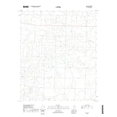
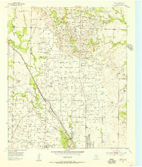
2019 Map of Ira NE
USGS Topo · Published 2019About this map
Bluff Cr and Chimney Cr carve a network of drainage patterns across this West Texas landscape, defining the rural character of Scurry County. The 2019 survey documents a region dominated by ranching and oil infrastructure, evidenced by the dense grid of county roads and farm-to-market routes that facilitate movement between local properties. Notable landmarks such as Bull Cr and the S Fork Deep Cr emphasize the importance of ephemeral water sources in this semi-arid environment. Family-named pathways like Gernandt Ln and established thoroughfares including Fm 1610 and S Fm 1606 connect the scattered homesteads. The topography is marked by subtle elevation changes and drainages like Moose Cr, illustrating the rugged, functional nature of the Llano Estacado's eastern margins during the early 21st century.
Find a feature on this map
34 named features on this map. Tap any name to fly to it.
Don’t see what you’re looking for? This feature index may not catch every label — zoom into the map to look around manually.
Map Details
Editions of this 2019 Ira NE Map
This is the sole edition of this map. No revisions or reprints were ever made.
Other maps of this area
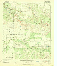
1951 · Ira SW
USGS Topo · 1:24,000
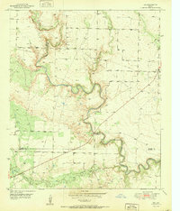
1951 · Ira
USGS Topo · 1:24,000
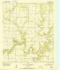
1951 · Dunn
USGS Topo · 1:24,000
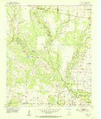
1951 · Ira NW
USGS Topo · 1:24,000
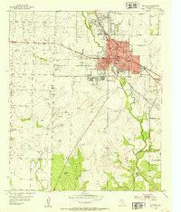
1952 · Snyder
USGS Topo · 1:24,000
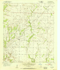
1952 · Ira NE
USGS Topo · 1:24,000
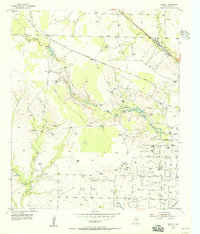
1954 · Dermott
USGS Topo · 1:24,000
1954 · Brand
USGS Topo · 1:24,000

1954 · Big Spring
USGS Topo · 1:250,000

1958 · Big Spring
USGS Topo · 1:250,000