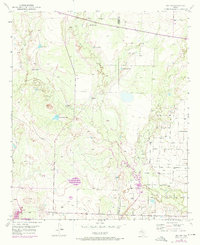
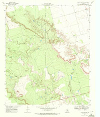
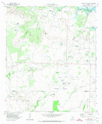
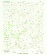
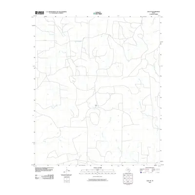
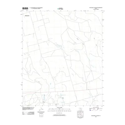
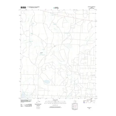
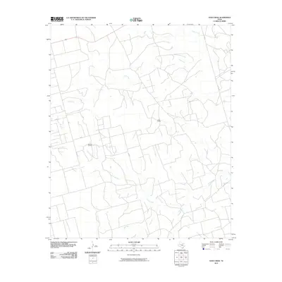
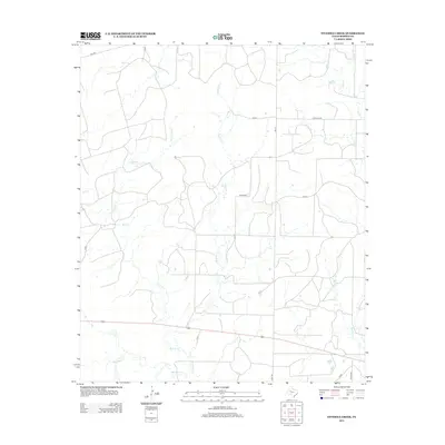
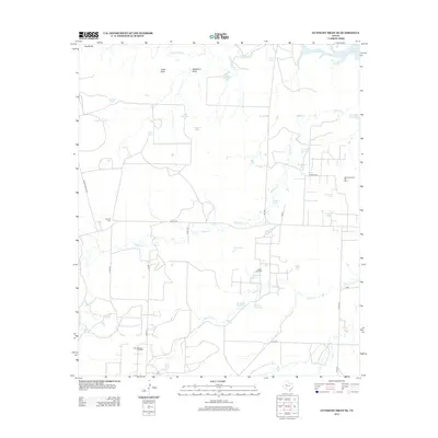
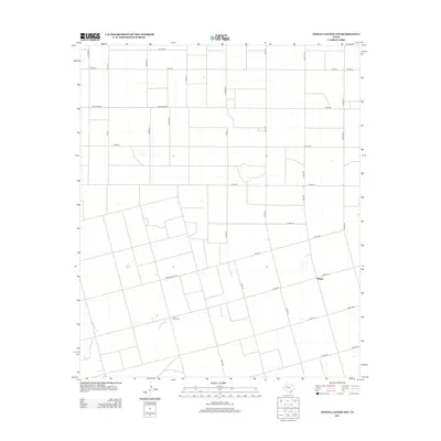
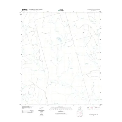
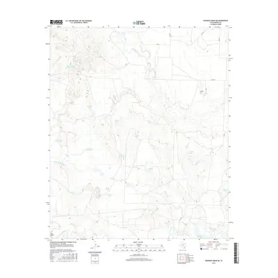
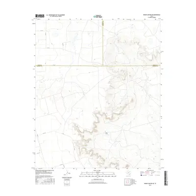
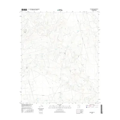
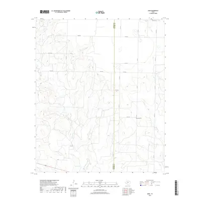
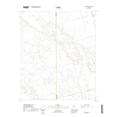
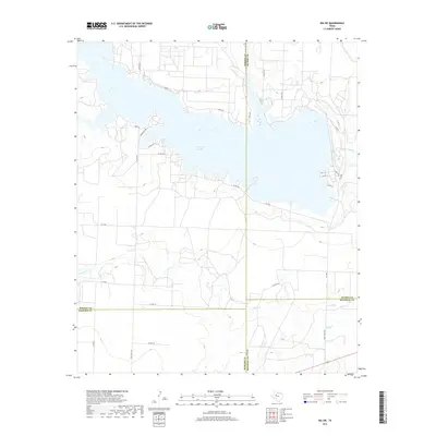
1951 Map of Ira NW
USGS Topo · Published 1976About this map
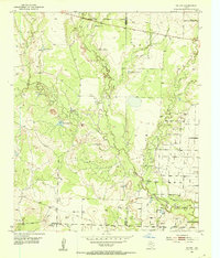
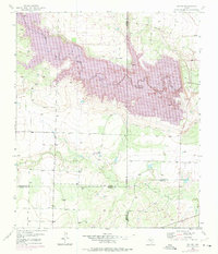
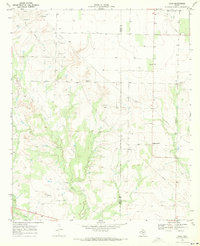
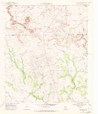
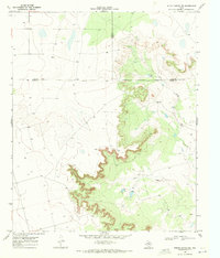
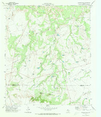
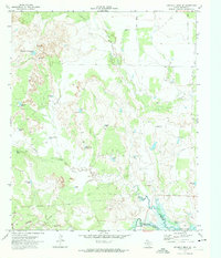
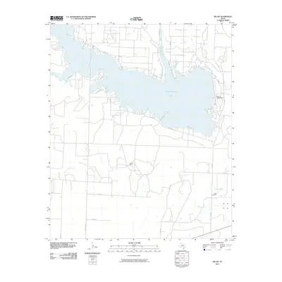
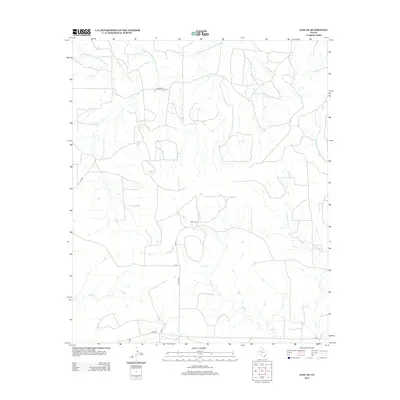
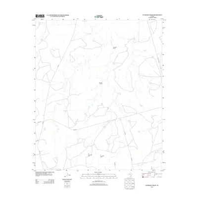
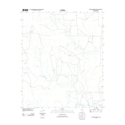
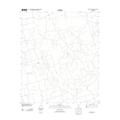
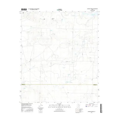
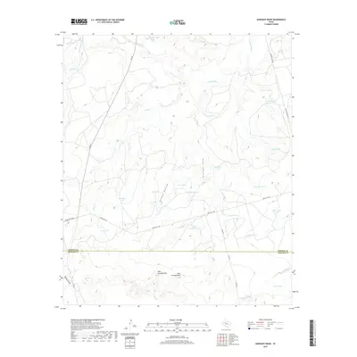
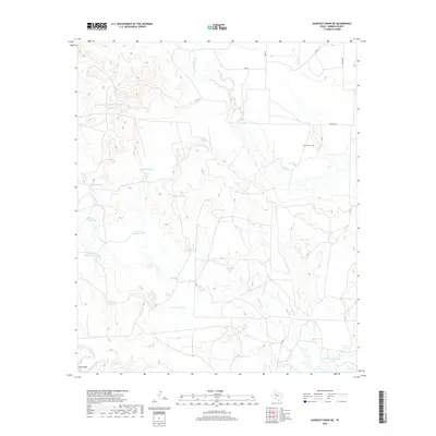
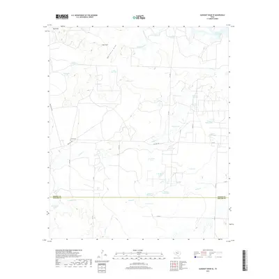
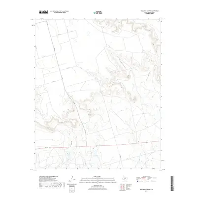
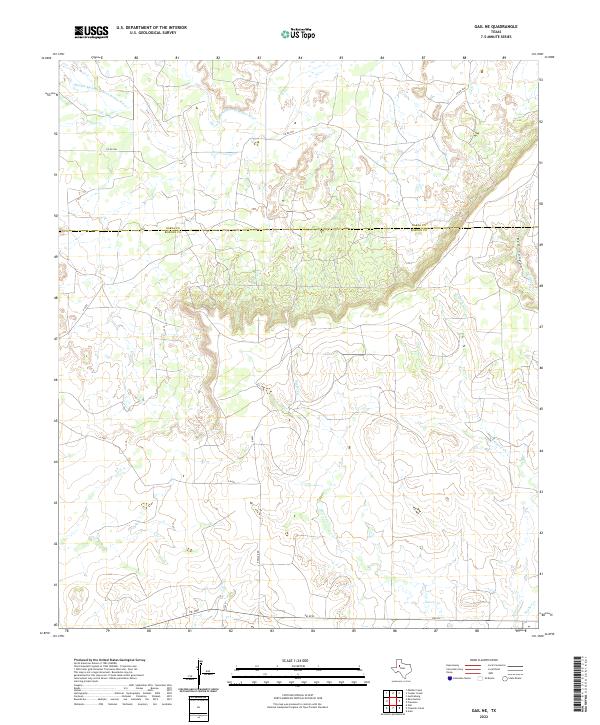
The Borden and Scurry County border area in West Texas is defined by its arid cattle country and early-stage industrial development. Centered on the rugged drainages of Bull Creek and Gavett Creek, the landscape is dotted with numerous water tanks essential for ranching operations, such as Indian Head Tank, Murphy Tank, and Wascomb Tank. These small reservoirs, along with the broader basin of Bull Lake, supported the 9R Ranch and surrounding agricultural lands during the mid-20th century.
Find a feature on this map
22 named features on this map. Tap any name to fly to it.
Don’t see what you’re looking for? This feature index may not catch every label — zoom into the map to look around manually.
Map Details
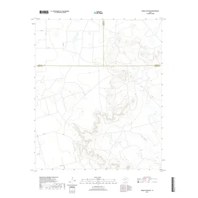
Editions of this 1951 Ira NW Map
2 editions found
Historical Maps of Scurry County Through Time
102 maps found
1951 Ira NW
Borden County, TX
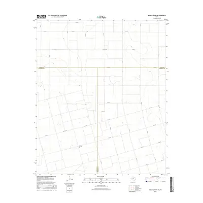
1951 Ira SW
Borden County, TX
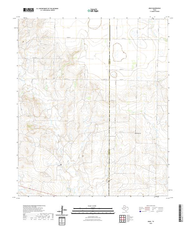
1969 Arah
Borden County, TX
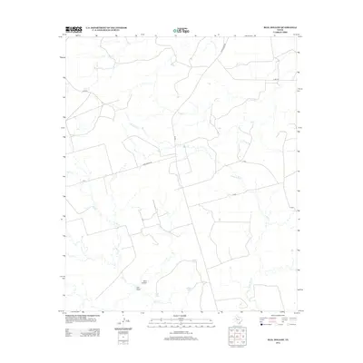
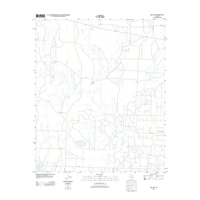
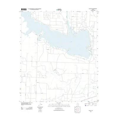
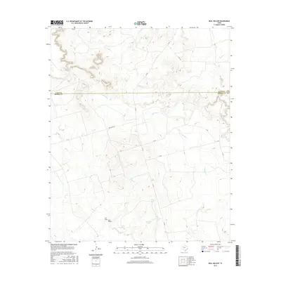
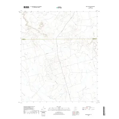
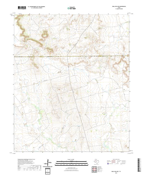
1969 Beal Hollow
Borden County, TX
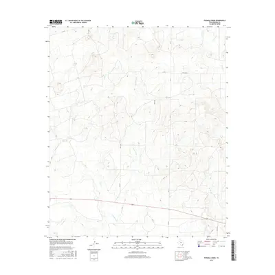
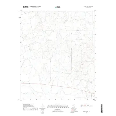
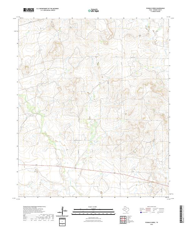
1969 Fivemile Creek
Borden County, TX
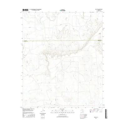
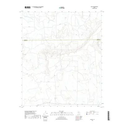
1969 Gail NE
Borden County, TX
1969 Holloway Canyon
Borden County, TX
1969 Indian Canyon
Borden County, TX
1969 Indian Canyon NE
Borden County, TX
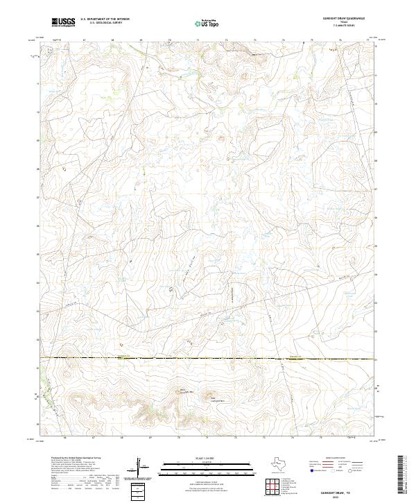
1970 Gunsight Draw
Borden County, TX
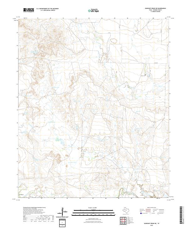
1970 Gunsight Draw NE
Borden County, TX
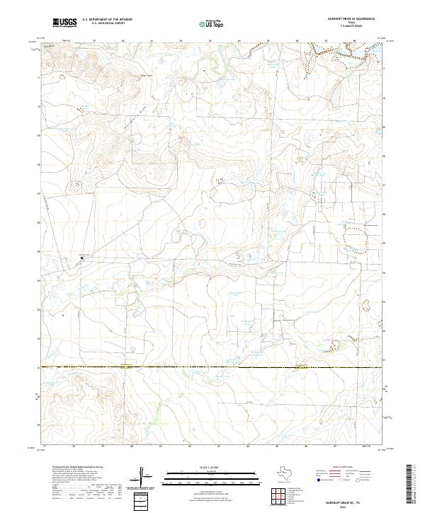
1970 Gunsight Draw SE
Borden County, TX
1970 Indian Canyon NW
Borden County, TX

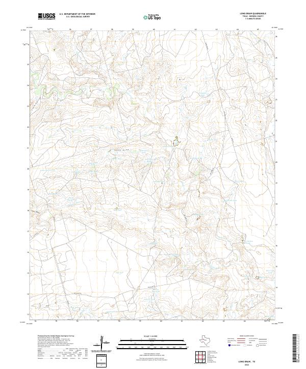
1970 Long Draw
Borden County, TX
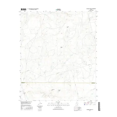
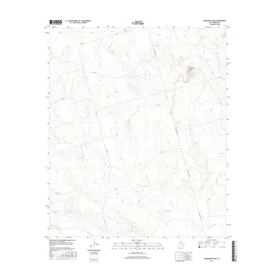
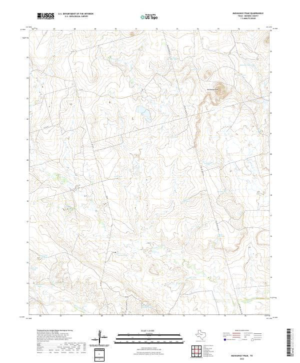
1970 Mushaway Peak
Borden County, TX
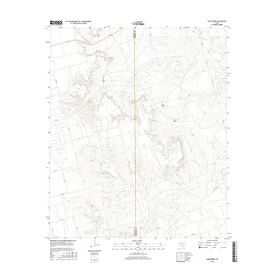
1970 Sand Creek
Borden County, TX
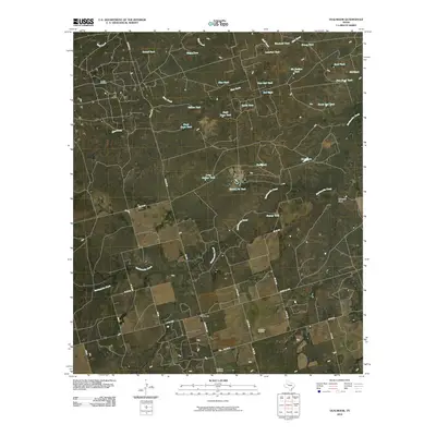
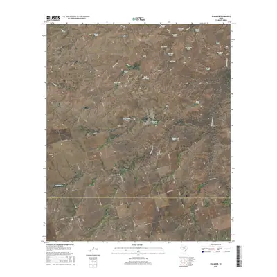
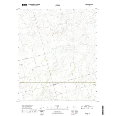
1970 Vealmoor
Borden County, TX
2010 Arah
Borden County, TX
2010 Beal Hollow
Borden County, TX
2010 Fivemile Creek
Borden County, TX
2010 Gail NE
Borden County, TX
2010 Gunsight Draw
Borden County, TX
2010 Gunsight Draw NE
Borden County, TX
2010 Gunsight Draw SE
Borden County, TX
2010 Holloway Canyon
Borden County, TX
2010 Indian Canyon
Borden County, TX
2010 Indian Canyon NE
Borden County, TX
2010 Indian Canyon NW
Borden County, TX
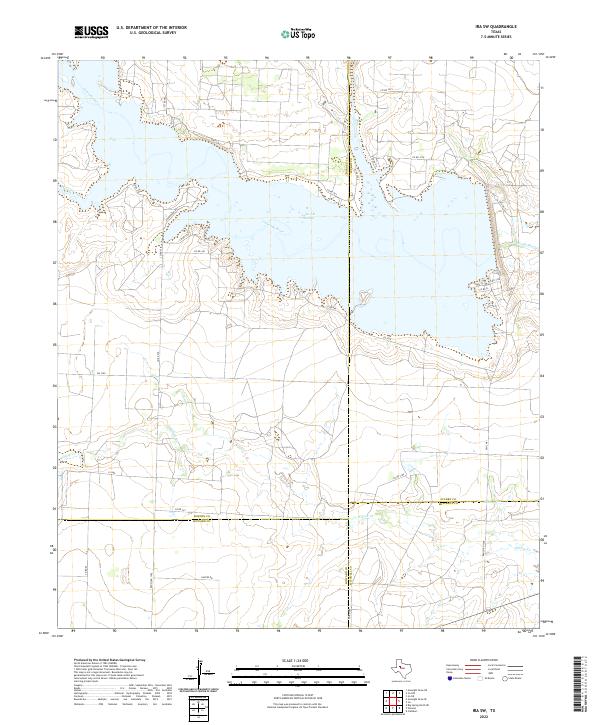
2010 Ira NW
Borden County, TX
2010 Ira SW
Borden County, TX
2010 Long Draw
Borden County, TX
2010 Mushaway Peak
Borden County, TX
2010 Sand Creek
Borden County, TX
2010 Vealmoor
Borden County, TX
2012 Arah
Borden County, TX
2012 Beal Hollow
Borden County, TX
2012 Fivemile Creek
Borden County, TX
2012 Gail NE
Borden County, TX
2012 Gunsight Draw
Borden County, TX
2012 Gunsight Draw NE
Borden County, TX
2012 Gunsight Draw SE
Borden County, TX
2012 Holloway Canyon
Borden County, TX
2012 Indian Canyon
Borden County, TX
2012 Indian Canyon NE
Borden County, TX
2012 Indian Canyon NW
Borden County, TX
2012 Ira NW
Borden County, TX
2012 Ira SW
Borden County, TX
2012 Long Draw
Borden County, TX
2012 Mushaway Peak
Borden County, TX
2012 Sand Creek
Borden County, TX
2012 Vealmoor
Borden County, TX
2016 Arah
Borden County, TX
2016 Beal Hollow
Borden County, TX
2016 Fivemile Creek
Borden County, TX
2016 Gail NE
Borden County, TX
2016 Gunsight Draw
Borden County, TX
2016 Gunsight Draw NE
Borden County, TX
2016 Gunsight Draw SE
Borden County, TX
2016 Holloway Canyon
Borden County, TX
2016 Indian Canyon
Borden County, TX
2016 Indian Canyon NE
Borden County, TX
2016 Indian Canyon NW
Borden County, TX
2016 Ira NW
Borden County, TX
2016 Ira SW
Borden County, TX
2016 Long Draw
Borden County, TX
2016 Mushaway Peak
Borden County, TX
2016 Sand Creek
Borden County, TX
2016 Vealmoor
Borden County, TX
2019 Arah
Borden County, TX
2019 Beal Hollow
Borden County, TX
2019 Fivemile Creek
Borden County, TX
2019 Gail NE
Borden County, TX
2019 Gunsight Draw
Borden County, TX
2019 Gunsight Draw NE
Borden County, TX
2019 Gunsight Draw SE
Borden County, TX
2019 Holloway Canyon
Borden County, TX
2019 Indian Canyon
Borden County, TX
2019 Indian Canyon NE
Borden County, TX
2019 Indian Canyon NW
Borden County, TX
2019 Ira NW
Borden County, TX
2019 Ira SW
Borden County, TX
2019 Long Draw
Borden County, TX
2019 Mushaway Peak
Borden County, TX
2019 Sand Creek
Borden County, TX
2019 Vealmoor
Borden County, TX
2022 Arah
Borden County, TX
2022 Beal Hollow
Borden County, TX
2022 Fivemile Creek
Borden County, TX
2022 Gail NE
Borden County, TX
2022 Gunsight Draw
Borden County, TX
2022 Gunsight Draw NE
Borden County, TX
2022 Gunsight Draw SE
Borden County, TX
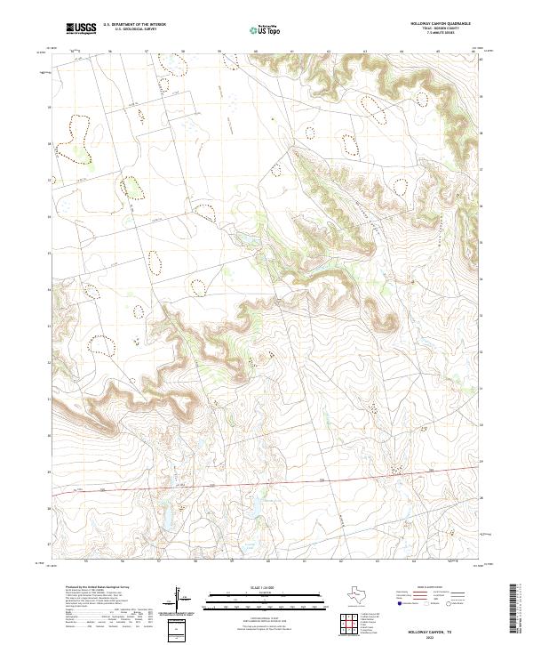
2022 Holloway Canyon
Borden County, TX
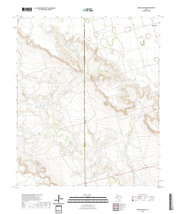
2022 Indian Canyon
Borden County, TX
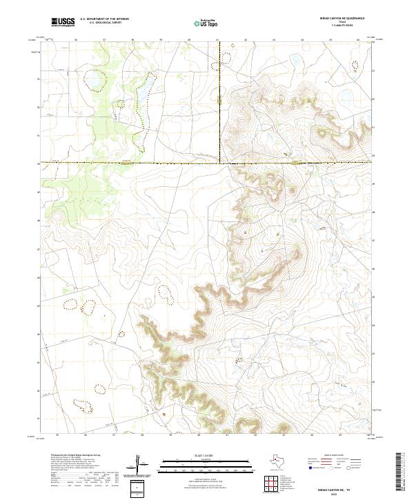
2022 Indian Canyon NE
Borden County, TX
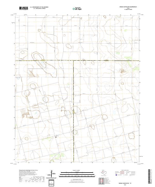
2022 Indian Canyon NW
Borden County, TX
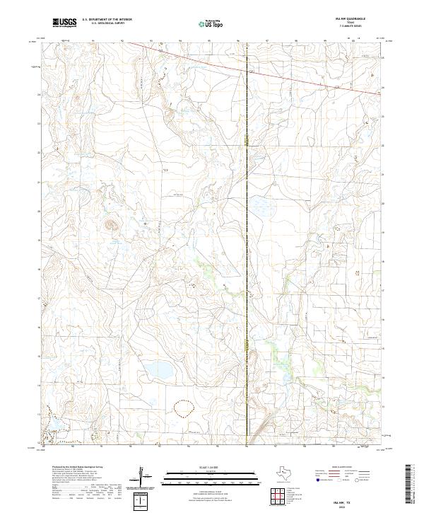
2022 Ira NW
Borden County, TX
2022 Ira SW
Borden County, TX
2022 Long Draw
Borden County, TX
2022 Mushaway Peak
Borden County, TX
2022 Sand Creek
Borden County, TX
2022 Vealmoor
Borden County, TX