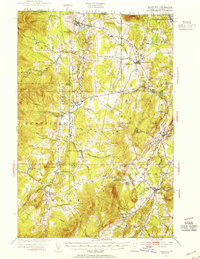
1953 Map of Irasburg
USGS Topo · Published 1954About this map
The Missisquoi River and Black River valleys dominate this portrait of Vermont's northern borderlands during the mid-1950s. While the Canadian Pacific railroad cuts through the terrain near Summit Siding, the map reveals a deeply rural landscape organized around township lines and high-elevation landmarks. Settlement patterns are concentrated in villages like North Troy, Irasburg, and Lowell, which remain connected by a network of small schoolhouses such as the West Hill School and Hitchcock School. The international boundary is clearly marked at the U S Customs station, separating Vermont from Quebec just north of Bear Mtn. Genealogists will find significant value in the placement of rural burial sites like the Center Cemetery and St Ignatius Cem, as well as named family landmarks like Farman Hill and Leland Hill. The presence of numerous ponds, including Kidder Pond and McAllister Pond, suggests a landscape defined by timber and small-scale agriculture before the expansion of modern highway systems.
Find a feature on this map
66 named features on this map. Tap any name to fly to it.
Don’t see what you’re looking for? This feature index may not catch every label — zoom into the map to look around manually.
Map Details
Editions of this 1953 Irasburg Map
4 editions found

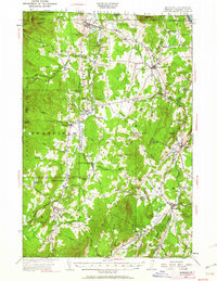
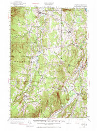
Other maps of this area

1919 · Lake Memphremagog
USGS Topo · 1:62,500

1919 · Montgomery
USGS Topo · 1:62,500

1920 · Montgomery
USGS Topo · 1:62,500

1920 · Derby
USGS Topo · 1:62,500

1920 · Irasburg
USGS Topo · 1:62,500

1923 · Irasburg
USGS Topo · 1:48,000

1923 · Lake Memphremagog
USGS Topo · 1:48,000

1925 · Irasburg
USGS Topo · 1:62,500

1925 · Jay Peak
USGS Topo · 1:62,500

1925 · Memphremagog
USGS Topo · 1:62,500