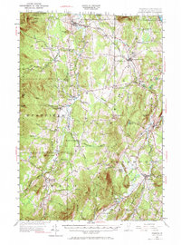
1953 Map of Irasburg
USGS Topo · Published 1971About this map
The Missisquoi River valley and the high ridges of the Green Mountains define this mid-century view of the Vermont-Quebec borderlands. Centered on the town of Irasburg, the map details a landscape transition from the industrial and rail-connected settlements like North Troy and Newport Center to the more isolated agricultural and forest lands of Lowell and Albany. The Canadian Pacific railroad provides a vital artery through the region, passing through the Summit Siding as it navigates the terrain toward the international boundary near US Customs.
Find a feature on this map
69 named features on this map. Tap any name to fly to it.
Don’t see what you’re looking for? This feature index may not catch every label — zoom into the map to look around manually.
Map Details
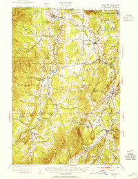
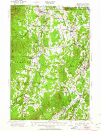
Editions of this 1953 Irasburg Map
4 editions found

Other maps of this area

1919 · Lake Memphremagog
USGS Topo · 1:62,500

1919 · Montgomery
USGS Topo · 1:62,500

1920 · Montgomery
USGS Topo · 1:62,500

1920 · Derby
USGS Topo · 1:62,500

1920 · Irasburg
USGS Topo · 1:62,500

1923 · Irasburg
USGS Topo · 1:48,000

1923 · Lake Memphremagog
USGS Topo · 1:48,000

1925 · Irasburg
USGS Topo · 1:62,500

1925 · Jay Peak
USGS Topo · 1:62,500

1925 · Memphremagog
USGS Topo · 1:62,500