
1953 Map of Irasburg
USGS Topo · Published 1954About this map
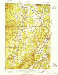
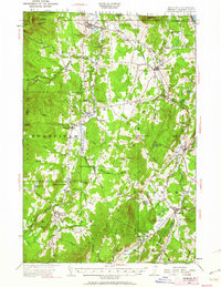
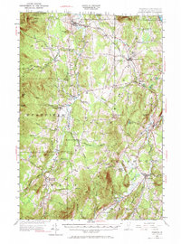
The Canadian border defines the northern edge of this Vermont landscape, where the Canadian Pacific railroad cuts through the terrain near the U S Customs post and North Troy. The geography is shaped by the transition from the Green Mountains to the fertile river valleys, anchored by the Missisquoi River and Black River. This 1953 revision of earlier surveys documents a rural economy still organized around small village centers and local institutions. Small rural schoolhouses like Brighton School, Burlington School, and Farrar School appear alongside family-named summits such as Allen Hill and Cleveland Hill. The map also captures the recreational and travel corridors of the mid-century, including the Journeys End Camp near the international boundary and the mountain pass at Hazen Notch, providing a clear view of Orleans County before the expansion of modern highway systems.
Find a feature on this map
69 named features on this map. Tap any name to fly to it.
Don’t see what you’re looking for? This feature index may not catch every label — zoom into the map to look around manually.
Map Details
Editions of this 1953 Irasburg Map
4 editions found
Other maps of this area

1919 · Lake Memphremagog
USGS Topo · 1:62,500

1919 · Montgomery
USGS Topo · 1:62,500

1920 · Montgomery
USGS Topo · 1:62,500

1920 · Derby
USGS Topo · 1:62,500

1920 · Irasburg
USGS Topo · 1:62,500

1923 · Irasburg
USGS Topo · 1:48,000

1923 · Lake Memphremagog
USGS Topo · 1:48,000

1925 · Irasburg
USGS Topo · 1:62,500

1925 · Jay Peak
USGS Topo · 1:62,500

1925 · Memphremagog
USGS Topo · 1:62,500