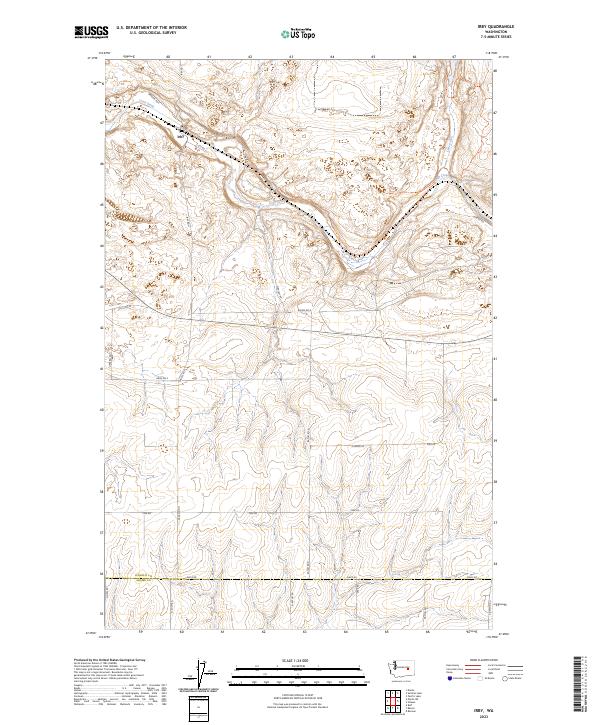
2023 Map of Irby
USGS Topo · Published 2023About this map
Irby sits at a geographic crossroads in eastern Washington, where the serpentine course of Crab Creek carves through the basalt-edged coulees of the Channeled Scablands. This modern topographic record captures the transition between the rolling agricultural uplands of Lincoln County and the northern edge of Adams County. The landscape is defined by the canyon floor through which Crab Creek flows, joined from the north by the deep-set drainage of Lake Creek.
Find a feature on this map
29 named features on this map. Tap any name to fly to it.
Don’t see what you’re looking for? This feature index may not catch every label — zoom into the map to look around manually.
Map Details
Editions of this 2023 Irby Map
This is the sole edition of this map. No revisions or reprints were ever made.
Other maps of this area

1925 · Schrag
USGS Topo · 1:62,500

1953 · Ritzville
USGS Topo · 1:250,000

1959 · Ritzville
USGS Topo · 1:250,000

1965 · Ritzville
USGS Topo · 1:250,000
1967 · Ruff
USGS Topo · 1:24,000

1967 · Batum
USGS Topo · 1:24,000

1967 · Reiman
USGS Topo · 1:24,000

1968 · Marlin SW
USGS Topo · 1:24,000

1968 · Irby
USGS Topo · 1:24,000

1968 · Marlin
USGS Topo · 1:24,000