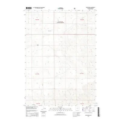
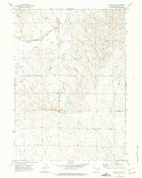
2015 Map of Ireton Draw
USGS Topo · Published 2015About this map
Thunder Basin National Grassland dominates this portion of the Powder River Basin in Converse County, where the topography is defined by ephemeral drainage patterns. The landscape is carved by several distinct watercourses, including Ireton Draw, Reeves Draw, and Mikes Draw, which channel seasonal runoff through the arid terrain toward Dry Cr. This 2015 survey illustrates a sparsely settled area where human activity is primarily represented by a network of ranch and section roads such as Esau Rd and Cr-60. The map's detailed contour lines reveal the complex interplay of ridges and depressions that characterize this grazing land, providing a clear view of the natural landforms before any further modern development. Genealogists and land historians can use the precise Public Land Survey System boundaries, including t38n r70w, to pinpoint specific parcels within this vast expanse of public and private land.
Find a feature on this map
13 named features on this map. Tap any name to fly to it.
Don’t see what you’re looking for? This feature index may not catch every label — zoom into the map to look around manually.
Map Details
Editions of this 2015 Ireton Draw Map
This is the sole edition of this map. No revisions or reprints were ever made.
Other maps of this area

1955 · Newcastle
USGS Topo · 1:250,000

1958 · Newcastle
USGS Topo · 1:250,000
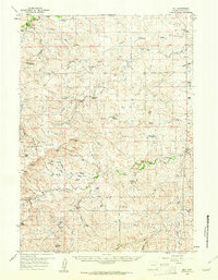
1959 · Bill
USGS Topo · 1:62,500
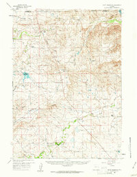
1959 · Betty Reservoir
USGS Topo · 1:62,500
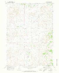
1970 · Bill 4 SE
USGS Topo · 1:24,000
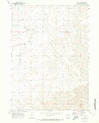
1970 · Bill 4 NW
USGS Topo · 1:24,000
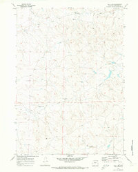
1970 · Bill 4 SW
USGS Topo · 1:24,000
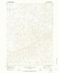
1970 · Bill 4 NE
USGS Topo · 1:24,000
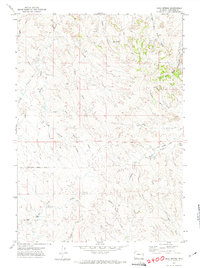
1971 · Esau Spring
USGS Topo · 1:24,000
1971 · Tin Can Lake
USGS Topo · 1:24,000