
1940 Map of Iris
USGS Topo · Published 1956About this map
The Southern Pacific railroad cuts a diagonal line across this landscape, linking remote stops like Iris, Tortuga, and Amos within the arid terrain. To the west, a highly organized grid of irrigation canals and roads supports the agricultural development of the Imperial Valley. These water features, ranging from the Coachella Canal to specific laterals like the Marigold Canal and Mulberry Canal, reveal a massive effort to transform the desert into productive land.
Find a feature on this map
51 named features on this map. Tap any name to fly to it.
Don’t see what you’re looking for? This feature index may not catch every label — zoom into the map to look around manually.
Map Details
Editions of this 1940 Iris Map
4 editions found
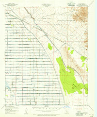
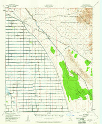
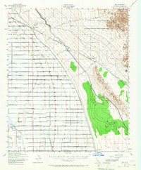
Other maps of this area

1907 · Holtville
USGS Topo · 1:125,000

1915 · El Centro
USGS Topo · 1:125,000

1940 · Brawley
USGS Topo · 1:62,500

1940 · Frink
USGS Topo · 1:62,500

1940 · Iris Pass
USGS Topo · 1:62,500

1940 · Alamorio
USGS Topo · 1:62,500

1942 · El Centro
USGS Topo · 1:250,000

1943 · Brawley
USGS Topo · 1:62,500

1944 · Calipatria
USGS Topo · 1:62,500

1944 · Frink
USGS Topo · 1:62,500