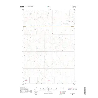
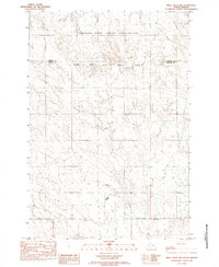
2017 Map of Irish Creek NE
USGS Topo · Published 2017About this map
Corson County and Ziebach County meet along an east-west survey line in this portion of the northern Great Plains. The landscape is defined by the winding paths of Firesteel Creek and Red Earth Creek, which carve intricate drainage patterns across the high prairie. The absence of named settlements or major roads emphasizes the expansive, open nature of this ranching country in the early twenty-first century. These seasonal waterways, including Cottonwood Creek, serve as the primary landmarks within the grid of township and range boundaries. The topography is characterized by subtle breaks and draws that feed into these major drainages, illustrating the natural water management of the South Dakota grasslands.
Find a feature on this map
10 named features on this map. Tap any name to fly to it.
Don’t see what you’re looking for? This feature index may not catch every label — zoom into the map to look around manually.
Map Details
Editions of this 2017 Irish Creek NE Map
This is the sole edition of this map. No revisions or reprints were ever made.
Other maps of this area

1953 · McIntosh
USGS Topo · 1:250,000
1956 · Black Horse SW
USGS Topo · 1:24,000
1956 · Cottonwood Creek SE
USGS Topo · 1:24,000
1956 · Cottonwood Creek SW
USGS Topo · 1:24,000

1958 · McIntosh
USGS Topo · 1:250,000
1978 · Isabel SW
USGS Topo · 1:24,000
1978 · Isabel
USGS Topo · 1:24,000
1980 · McIntosh
USGS Topo · 1:100,000
1982 · Irish Creek SW
USGS Topo · 1:24,000
1982 · Irish Creek NW
USGS Topo · 1:24,000