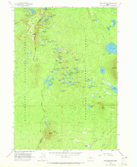
1963 Map of Irish Mountain
USGS Topo · Published 1972About this map
The high-elevation divide of the Cascade Range defines this 1963 survey, where the Lane Co Deschutes Co boundary follows the crest between the Willamette National Forest and Deschutes National Forest. This alpine landscape is characterized by a dense concentration of glacial lakes, including McFarland Lake in the north and the smaller Stormy Lake and Jezebel Lake tucked beneath the peaks. The presence of the Oregon Skyline Trail and Skyline Trail indicates the importance of backcountry recreation during this era, connecting remote sites like the Irish Lake Campground. Peaks such as Irish Mountain, Cultus Mountain, and Pillar Peak overlook a terrain dotted with dozens of named water bodies, from Lady Lake to Simon Lake, highlighting the complex hydrology of the volcanic plateau.
Find a feature on this map
66 named features on this map. Tap any name to fly to it.
Don’t see what you’re looking for? This feature index may not catch every label — zoom into the map to look around manually.
Map Details
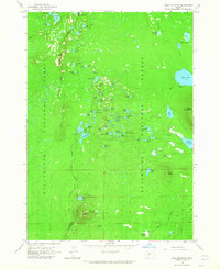
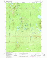
Editions of this 1963 Irish Mountain Map
3 editions found
Other maps of this area

1925 · Waldo Lake
USGS Topo · 1:125,000

1930 · Maiden Peak
USGS Topo · 1:125,000

1934 · Maiden Peak
USGS Topo · 1:125,000

1955 · Chucksney Mtn
USGS Topo · 1:62,500

1955 · Crescent
USGS Topo · 1:250,000

1956 · Waldo Lake
USGS Topo · 1:62,500

1957 · Crescent
USGS Topo · 1:250,000

1958 · Crescent
USGS Topo · 1:250,000

1958 · Roseburg
USGS Topo · 1:250,000

1959 · Roseburg
USGS Topo · 1:250,000