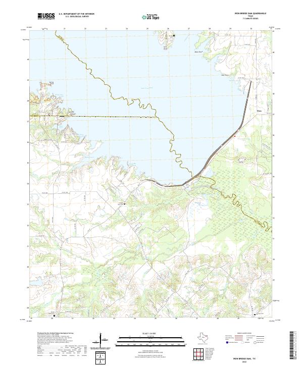
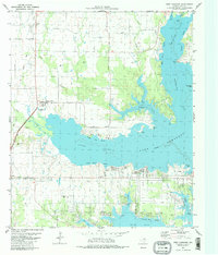
2022 Map of Iron Bridge Dam
USGS Topo · Published 2022About this map
Lake Tawakoni dominates the northern half of this landscape, its complex shoreline defined by points and reaches including Sun Point, Tall Man Reach, and White Deer Reach. Formed by the damming of the Sabine River, the reservoir has fundamentally reshaped the geography of this border region between Rains, Hunt, and Van Zandt counties. South of the dam, the terrain transitions into a patchwork of creek drainages such as McBee Cr and Koen Cr. Genealogists will find several notable local burial grounds including Bright Star Cem and Shooks Cem, which stand near the water's edge. The small settlements of Farkleberry and Flats remain linked by a network of county roads that navigate the bays of the lake, reflecting the area's development into a recreational and residential hub centered around the artificial shoreline.
Find a feature on this map
83 named features on this map. Tap any name to fly to it.
Don’t see what you’re looking for? This feature index may not catch every label — zoom into the map to look around manually.
Map Details
Editions of this 2022 Iron Bridge Dam Map
This is the sole edition of this map. No revisions or reprints were ever made.
Other maps of this area

1954 · Dallas
USGS Topo · 1:250,000

1956 · Tyler
USGS Topo · 1:250,000

1956 · Quinlan
USGS Topo · 1:62,500

1956 · Emory
USGS Topo · 1:62,500

1958 · Dallas
USGS Topo · 1:250,000

1962 · Wills Point
USGS Topo · 1:24,000
1962 · Edgewood
USGS Topo · 1:24,000
1962 · Fruitvale
USGS Topo · 1:24,000
1979 · Ables Springs
USGS Topo · 1:24,000
1980 · West Tawakoni
USGS Topo · 1:24,000