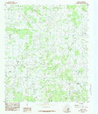
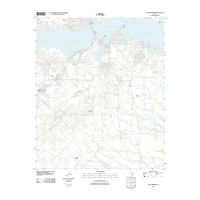
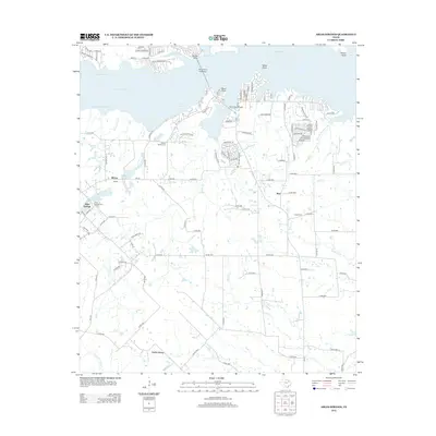
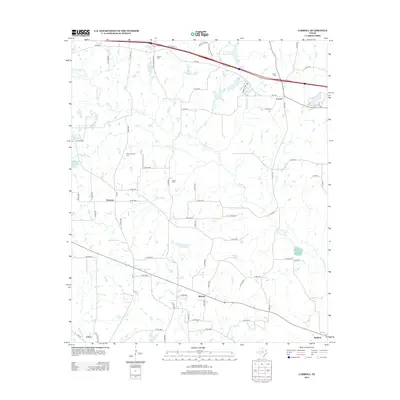
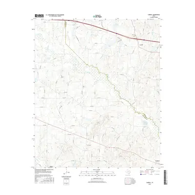
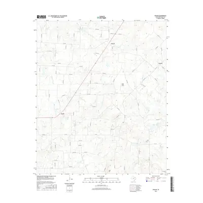
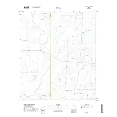
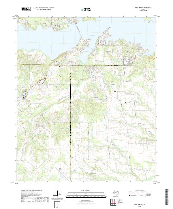
1979 Map of Ables Springs
USGS Topo · Published 1987About this map
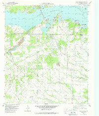
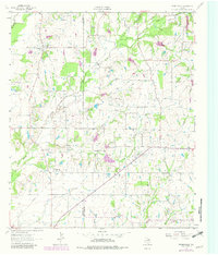
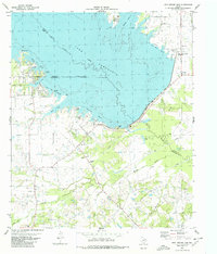
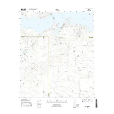
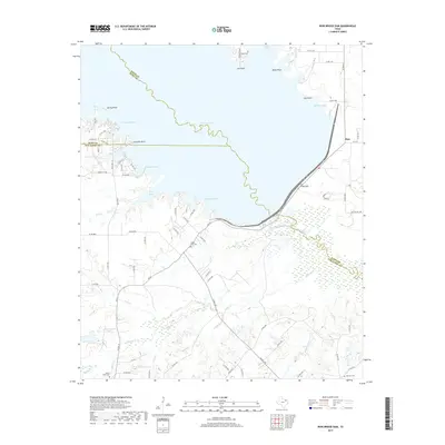
Lake Tawakoni dominates the northern landscape of this survey, featuring complex shorelines like Kitsee Inlet and Medicine Man Reach. The White Point Causeway provides a critical crossing near Arrow Point, connecting the rural hinterlands of Kaufman, Hunt, and Van Zandt counties. South of the water, the terrain is defined by a network of drainage systems including Duck Creek and Negro Creek, interspersed with small agricultural settlements and crossroads. Local history is anchored by sites like Ables Springs and Alsa, while genealogists can find several family-named burial grounds including White Prairie Cem, Howell Cem, and Cedar Grove Cem. Infrastructure of the late 1970s is evident in the prominent Aqueduct and the Iron Bridge Pumping Sta situated near Mustang Cove.
Find a feature on this map
40 named features on this map. Tap any name to fly to it.
Don’t see what you’re looking for? This feature index may not catch every label — zoom into the map to look around manually.
Map Details
Editions of this 1979 Ables Springs Map
This is the sole edition of this map. No revisions or reprints were ever made.
Historical Maps of McCoy Through Time
44 maps found
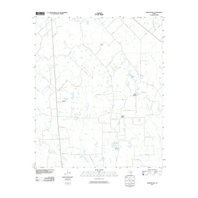
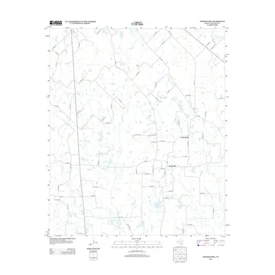
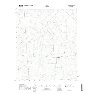
1948 Martins Mill
Van Zandt County, TX
1949 Martins Mill
Van Zandt County, TX
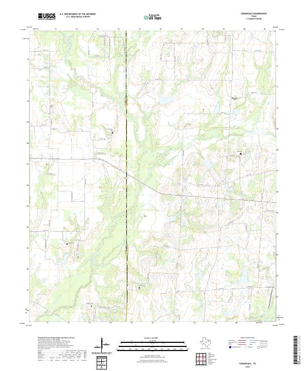
1962 Cedarvale
Van Zandt County, TX
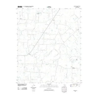
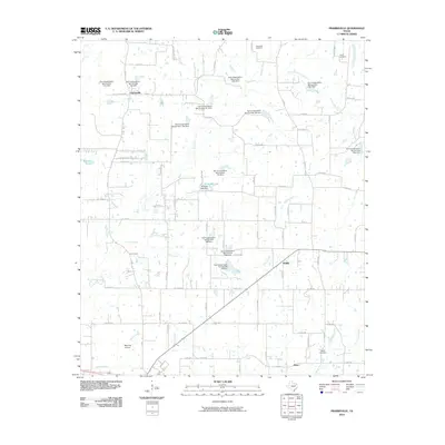
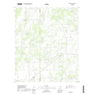
1962 Prairieville
Van Zandt County, TX
1979 Ables Springs
Van Zandt County, TX
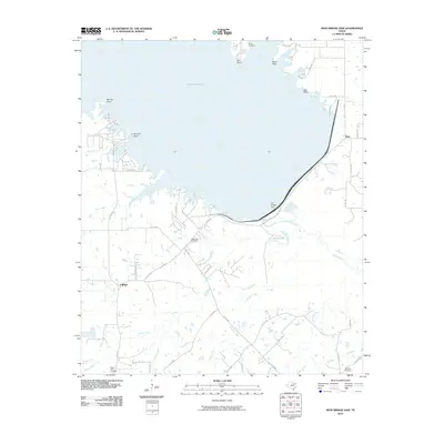
1980 Iron Bridge Dam
Van Zandt County, TX
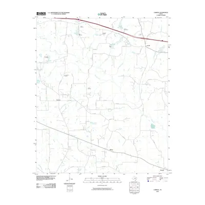
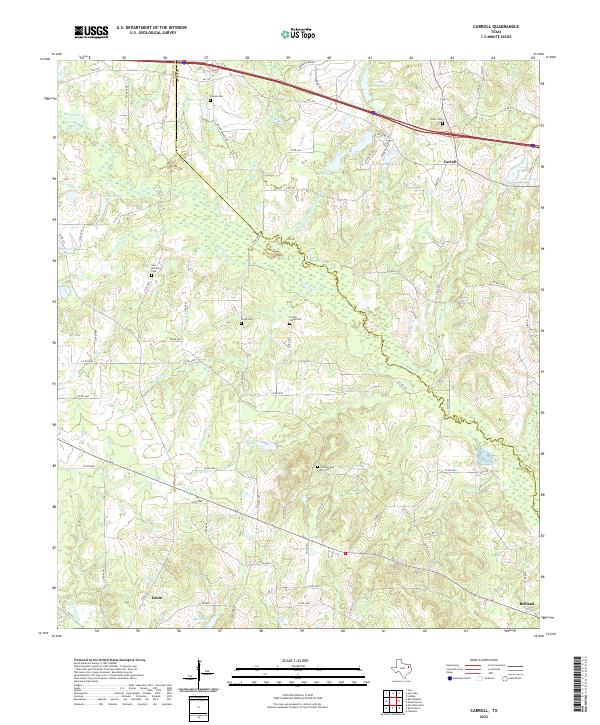
1984 Carroll
Van Zandt County, TX
1984 Martins Mill
Van Zandt County, TX
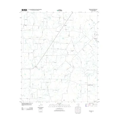
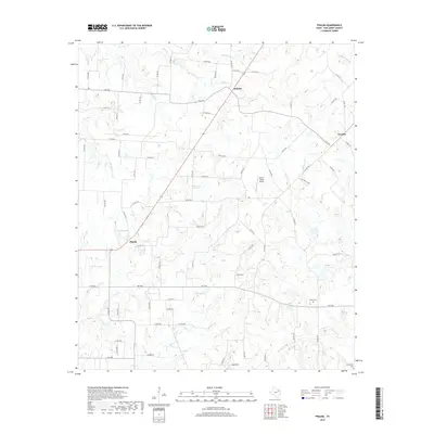
1984 Phalba
Van Zandt County, TX
2010 Carroll
Van Zandt County, TX
2010 Cedarvale
Van Zandt County, TX
2010 Iron Bridge Dam
Van Zandt County, TX
2010 Martins Mill
Van Zandt County, TX
2010 Phalba
Van Zandt County, TX
2010 Prairieville
Van Zandt County, TX
2011 Ables Springs
Van Zandt County, TX
2012 Ables Springs
Van Zandt County, TX
2012 Cedarvale
Van Zandt County, TX
2012 Iron Bridge Dam
Van Zandt County, TX
2012 Prairieville
Van Zandt County, TX
2013 Carroll
Van Zandt County, TX
2013 Martins Mill
Van Zandt County, TX
2013 Phalba
Van Zandt County, TX
2016 Ables Springs
Van Zandt County, TX
2016 Carroll
Van Zandt County, TX
2016 Cedarvale
Van Zandt County, TX
2016 Iron Bridge Dam
Van Zandt County, TX
2016 Martins Mill
Van Zandt County, TX
2016 Phalba
Van Zandt County, TX
2016 Prairieville
Van Zandt County, TX
2019 Ables Springs
Van Zandt County, TX
2019 Carroll
Van Zandt County, TX
2019 Cedarvale
Van Zandt County, TX
2019 Iron Bridge Dam
Van Zandt County, TX
2019 Martins Mill
Van Zandt County, TX
2019 Phalba
Van Zandt County, TX
2019 Prairieville
Van Zandt County, TX
2022 Ables Springs
Van Zandt County, TX
2022 Carroll
Van Zandt County, TX
2022 Cedarvale
Van Zandt County, TX
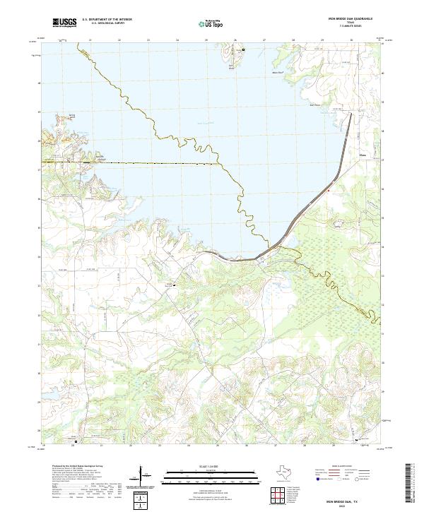
2022 Iron Bridge Dam
Van Zandt County, TX
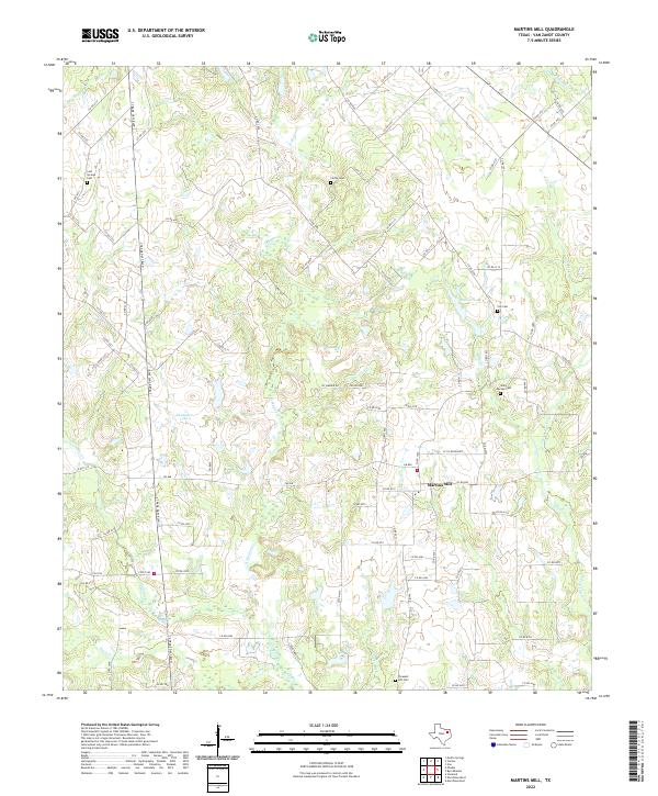
2022 Martins Mill
Van Zandt County, TX
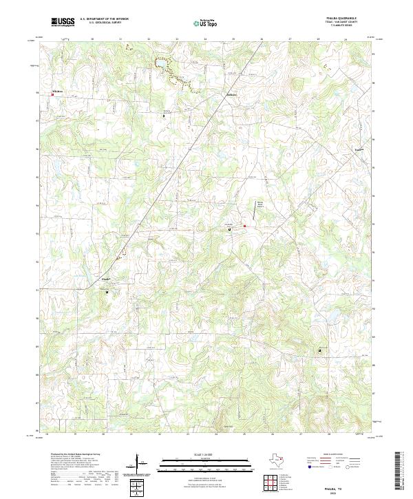
2022 Phalba
Van Zandt County, TX
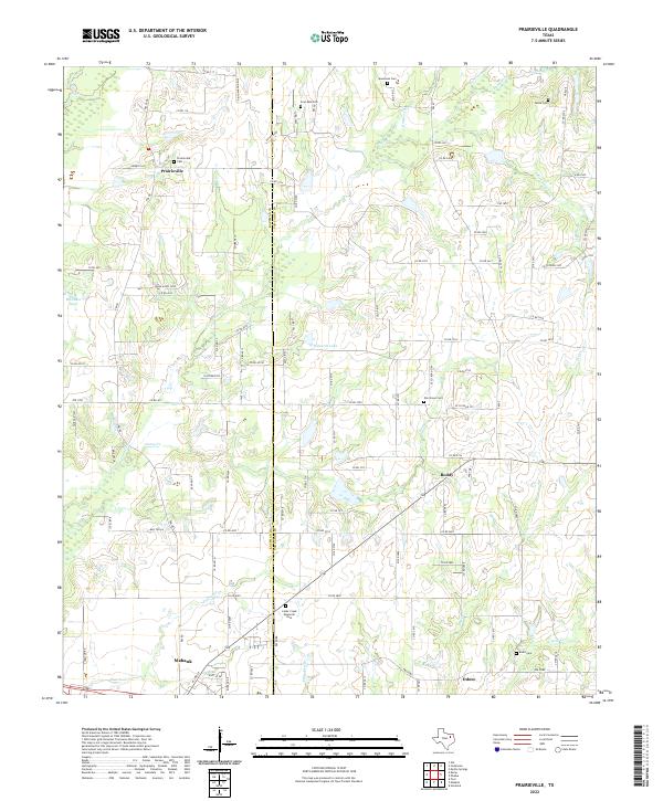
2022 Prairieville
Van Zandt County, TX