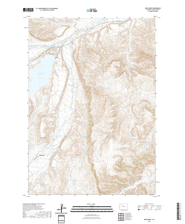
2021 Map of Iron Creek
USGS Topo · Published 2021About this map
Sunshine sits at the confluence of the Wood River and Sunshine Creek, serving as a central point for the ranching and irrigation systems in this corner of Park County. The landscape is defined by its water management history, evidenced by the Pappapau Ditch and the aptly named Only Chance Ditch, which channel water toward the Lower Sunshine Reservoir. These engineered waterways reflect the necessity of managing the Greybull River drainage to support the high-altitude agricultural activity of the Bighorn Basin. In the northern and eastern reaches, the terrain transitions into a complex of drainage networks, including Rawhide Cr and Iron Cr, while remote access is maintained via Pitchfork Rd and LU Ranch Rd.
Find a feature on this map
22 named features on this map. Tap any name to fly to it.
Don’t see what you’re looking for? This feature index may not catch every label — zoom into the map to look around manually.
Map Details
Editions of this 2021 Iron Creek Map
This is the sole edition of this map. No revisions or reprints were ever made.
Other maps of this area

1904 · Kirwin
USGS Topo · 1:125,000

1906 · Kirwin
USGS Topo · 1:125,000

1911 · Meeteetse
USGS Topo · 1:62,500

1913 · Meeteetse
USGS Topo · 1:62,500

1955 · Cody
USGS Topo · 1:250,000

1955 · Thermopolis
USGS Topo · 1:250,000

1956 · Soapy Dale Peak
USGS Topo · 1:24,000

1956 · Adam Weiss Peak
USGS Topo · 1:24,000

1957 · Sunshine Reservoir
USGS Topo · 1:62,500

1958 · Cody
USGS Topo · 1:250,000