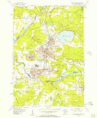
1955 Map of Iron Mountain
USGS Topo · Published 1957About this map
Mining operations and hydroelectric power define this mid-century landscape along the Michigan Wisconsin border. Industrial heritage is evident in the dense concentration of iron works, including the Chapin Mine, West Chapin Mine, and Pewabic Mine, which flank the northern edge of Iron Mountain. The Menominee River serves as both a political boundary and an energy source, controlled by the Twin Falls Dam and Big Quinnesec Dam.
Find a feature on this map
66 named features on this map. Tap any name to fly to it.
Don’t see what you’re looking for? This feature index may not catch every label — zoom into the map to look around manually.
Map Details
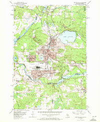
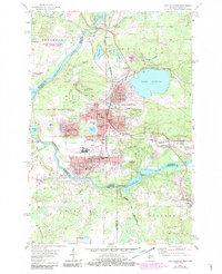
Editions of this 1955 Iron Mountain Map
3 editions found
Other maps of this area

1939 · Pembine
USGS Topo · 1:48,000

1939 · Dunbar
USGS Topo · 1:48,000

1939 · Iron Mountain
USGS Topo · 1:48,000

1941 · Dunbar
USGS Topo · 1:48,000

1941 · Iron Mountain
USGS Topo · 1:48,000

1947 · Pembine
USGS Topo · 1:48,000

1947 · Dunbar
USGS Topo · 1:48,000

1947 · Iron Mountain
USGS Topo · 1:48,000
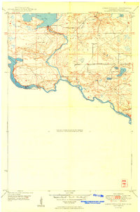
1949 · Commonwealth
USGS Topo · 1:24,000

1954 · Iron Mountain
USGS Topo · 1:250,000