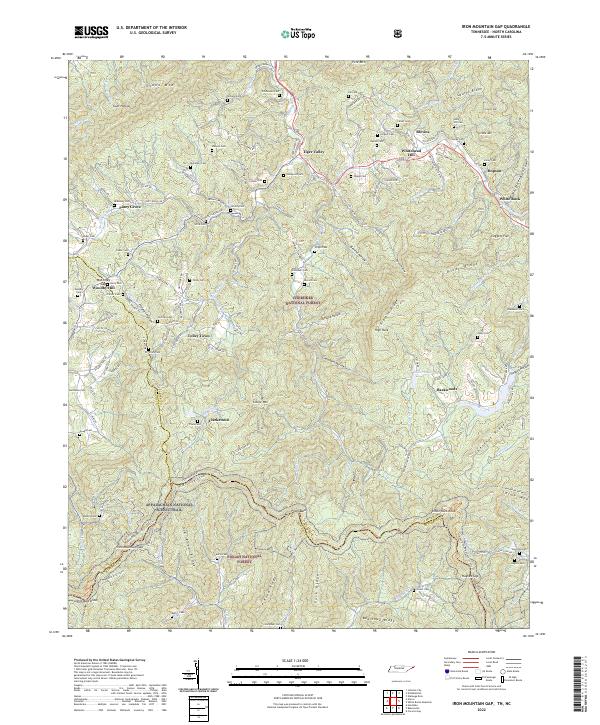
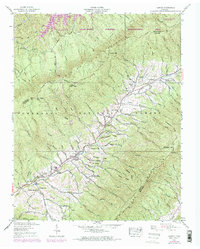
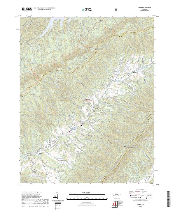
2022 Map of Iron Mountain Gap
USGS Topo · Published 2022About this map
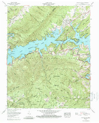
Iron Mountain Gap stands as a central crossing point along the border of Carter and Mitchell counties, where the Appalachian National Scenic Trail winds through the high ridges of the Cherokee National Forest and Pisgah National Forest. The landscape is defined by its deep hollows and high points like Little Rock Knob and Piney Bald. Small settlements such as Piney Grove and Tiger Valley are situated along the lower elevations, connected by roads that often follow historical paths like Old Hwy 19E. For genealogists, the map is remarkably dense with family-named landmarks and cemeteries, including the Honeycutt Cem, Gouge Cem, and Stockton Cem, which are tucked away in locations like Chambers Hollow and along the slopes of River Ridge. The presence of the Old Railroad Grade Rd near Blevins indicates the area's history of mountain transit and timber extraction.
Find a feature on this map
127 named features on this map. Tap any name to fly to it.
Don’t see what you’re looking for? This feature index may not catch every label — zoom into the map to look around manually.
Map Details
Editions of this 2022 Iron Mountain Gap Map
This is the sole edition of this map. No revisions or reprints were ever made.
Historical Maps of Fairview Through Time
19 maps found
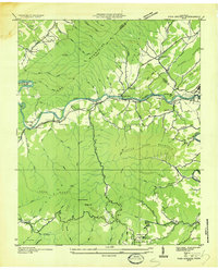
1934 Iron Mtn Gap
Carter County, TN
1934 White Rocks Mtn
Carter County, TN
1935 Carter
Carter County, TN
1935 Fish Springs
Carter County, TN

1935 Watauga Valley
Carter County, TN
1938 Carter
Carter County, TN
1938 Fish Springs
Carter County, TN
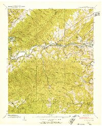
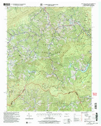
1960 Iron Mountain Gap
Carter County, TN
1960 Watauga Dam
Carter County, TN
1960 White Rocks Mountain
Carter County, TN
1994 White Rocks Mountain
Carter County, TN
2003 Carter
Carter County, TN
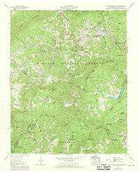
2003 Iron Mountain Gap
Carter County, TN
2003 Watauga Dam
Carter County, TN
2003 White Rocks Mountain
Carter County, TN
2022 Carter
Carter County, TN
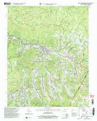
2022 Iron Mountain Gap
Carter County, TN
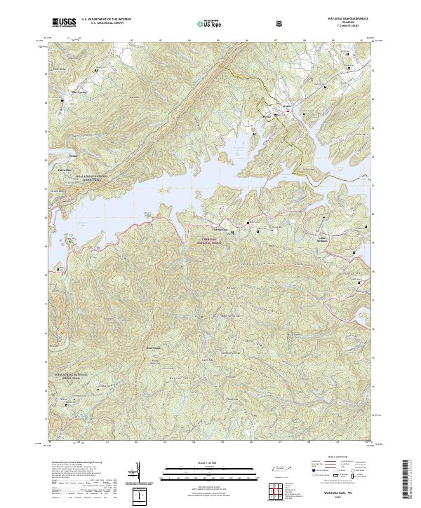
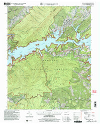
2022 Watauga Dam
Carter County, TN
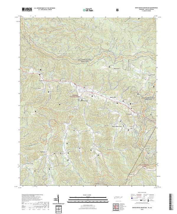
2022 White Rocks Mountain
Carter County, TN