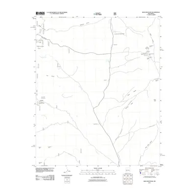
2011 Map of Iron Mountain
USGS Topo · Published 2011About this map
The settlement of Grafton and the high peaks of Iron Mountain anchor this survey of the New Mexico interior, a landscape defined by its deep mining history. A concentration of claims surrounds the northern slopes of Iron Mountain, including the Tungsten Reef Iron Mountain Mine, the Scheelemite Gem Mine, and the Lucky Strike. The map reveals a complex network of resource extraction that includes the Republic Mine and Great Republic Mine to the west, and the Invincible Mine to the east. Topographic features such as Sheep Canyon, Wildhorse Canyon, and Poverty Creek dictate the placement of ranching outposts like Sage Ranch and Moore Ranch. This survey provides a precise account of the industrial and agricultural footprint in Socorro County, from the Iron Mountain Detention Dam to the various shafts and strikes scattered through the canyons.
Find a feature on this map
46 named features on this map. Tap any name to fly to it.
Don’t see what you’re looking for? This feature index may not catch every label — zoom into the map to look around manually.
Map Details
Editions of this 2011 Iron Mountain Map
This is the sole edition of this map. No revisions or reprints were ever made.
Other maps of this area
1949 · Lookout Mountain
USGS Topo · 1:62,500

1954 · Tularosa
USGS Topo · 1:250,000

1958 · Tularosa
USGS Topo · 1:250,000
1964 · Montoya Butte
USGS Topo · 1:24,000
1965 · Winston
USGS Topo · 1:24,000
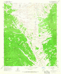
1965 · Iron Mountain
USGS Topo · 1:24,000
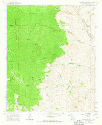
1965 · Jaralosa Mountain
USGS Topo · 1:24,000
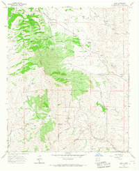
1965 · Chise
USGS Topo · 1:24,000
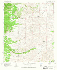
1965 · Wahoo Peak
USGS Topo · 1:24,000
1979 · Truth or Consequences
USGS Topo · 1:100,000