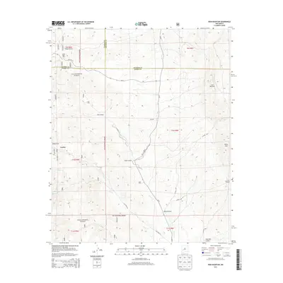
2013 Map of Iron Mountain
USGS Topo · Published 2013About this map
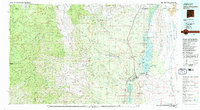
Gila National Forest spans the western reaches of this high-altitude landscape, where the borders of Socorro, Catron, and Sierra Counties converge. The terrain is defined by a series of prominent peaks and canyons, including the central Iron Mountain and the northeastern Reilly Peak. Human presence is marked by isolated outposts such as Grafton, Sage Ranch, and Moore Ranch, which are linked by remote corridors like NM-52 and Bear Creek Rd. Water sources are critical features in this arid environment, evidenced by the Escondrijo Windmill, Piñon Spring, and drainage systems such as Poverty Creek and Turkey Cr. The map illustrates a complex topography of draws and canyons, notably Edwards Draw and Deep Well Canyon, which dictate the placement of local connectors and ranch access roads in a region where natural features heavily influence settlement patterns and navigation.
Find a feature on this map
39 named features on this map. Tap any name to fly to it.
Don’t see what you’re looking for? This feature index may not catch every label — zoom into the map to look around manually.
Map Details
Editions of this 2013 Iron Mountain Map
This is the sole edition of this map. No revisions or reprints were ever made.
Other maps of this area
1949 · Lookout Mountain
USGS Topo · 1:62,500

1954 · Tularosa
USGS Topo · 1:250,000

1958 · Tularosa
USGS Topo · 1:250,000
1964 · Montoya Butte
USGS Topo · 1:24,000
1965 · Winston
USGS Topo · 1:24,000
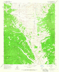
1965 · Iron Mountain
USGS Topo · 1:24,000
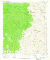
1965 · Jaralosa Mountain
USGS Topo · 1:24,000
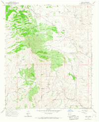
1965 · Chise
USGS Topo · 1:24,000
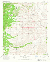
1965 · Wahoo Peak
USGS Topo · 1:24,000
1979 · Truth or Consequences
USGS Topo · 1:100,000